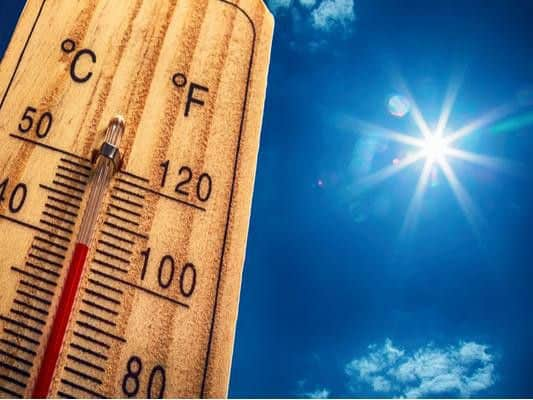
This is when the heatwave will END in Yorkshire


Tuesday 27 August will see high temperatures throughout the region, but heavy and thundery showers will develop.
This will bring “some blustery and torrential downpours, and perhaps the odd spot of hail,” explains the Met Office.
Advertisement
Hide AdAdvertisement
Hide AdHeavy, thundery showers will ease away throughout the evening, with all parts dry by midnight.
Clear spells will then follow, before cloud thickens again by dawn. Further showery outbreaks of rain are also likely. Overnight temperature of 11C.
Cooler temperatures and heavy rain
Wednesday 28 August will then see considerably different weather conditions, with bright skies turning to rain and temperatures dropping.
The Met Office explains that Wednesday will be “Rather cloudy, with outbreaks of showery rain likely throughout.
Advertisement
Hide AdAdvertisement
Hide AdThese turning heavy and persistent in places by late afternoon. Feeling much cooler than recent days.” Maximum of 21C.
Thursday will then be breezy, with brighter spells, and isolated showers.
“Windy Friday with some rain in the west, although eastern parts staying dry. Rain clearing southeast Saturday, with sunshine and showers following.”
The temperature will dip to around 18C in most areas, accompanied by a mixture of rain, winds, cloud and some sunshine.