Weekend Walk: Brantingham Dale


This lovely route follows the dale all the way onto the high Yorkshire Wolds, passing the beautifully situated All Saints Church, partly 13th century but mostly a Victorian restoration - the local squire had it expensively spruced up for a visit by the future Edward VII. At Riplingham, across the road is site of a deserted medieval village, its remains discovered by aerial photography. The return briefly visits another small Wolds valley, Woo Dale. Brantingham has an unusually elaborate war memorial, made up of features taken from Hull’s old town hall (demolished in 1914), and there also a fine old village pump. Great spotted and green woodpeckers are in Brantingham Dale, yellowhammers and mixed flocks of greenfinches, chaffinches and house sparrows on farmland.
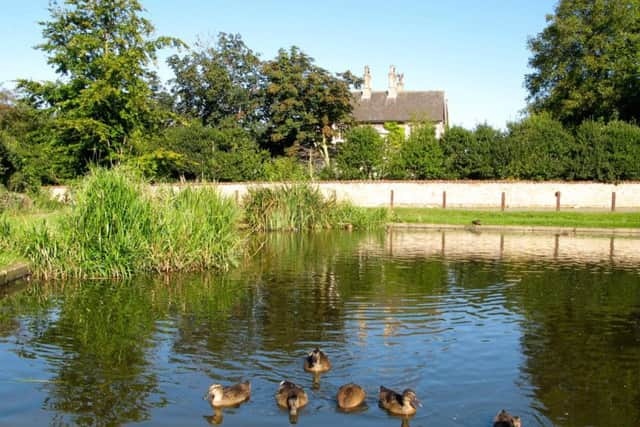
1. Starting from Brantingham village pond, walk up Burrill Lane. At a junction go left on Dale Road. Leave the houses behind, noting that the Yorkshire Wolds Way (YWW) joins the lane from the right.
Advertisement
Hide AdAdvertisement
Hide Ad2. All Saints soon appears. Continue past the church and walk with care further into Brantingham Dale. The YWW turns left to follow a track known as Ellerker Wold Lane but we continue up Dale Road. It eventually emerges on the high Wolds with fields on either side and arrives on the edge of the scattered farming hamlet of Riplingham.
3. Turn left and walk with care along the road, passing Sunnycroft Farm on the other side. Opposite a drive to Weedley take a footpath on the left. Follow it along a field edge over Great Wold (540ft above sea level), and follow the path as it drops down to turn left on the YWW just before Mount Airy Farm.
4. Follow the YWW as it drops into Woo Dale. Just past Woodale Farm leave the main path by turning right and quickly right again to follow Ellerker Wold Lane away from the farm. At the end of a line of trees turn left on a lane running parallel with the nearby A63, and turn left again to return to Brantingham.
Difficulty rating: 2 stars
Distance: 5 1/2 miles
Time: 2 hours
Maps: OS Landranger (1:50000) sheet 106, Market Weighton, or Explorer (1:25000) sheet 293 Kingston upon Hull & Beverley.
Parking: Brantingham village
Advertisement
Hide AdAdvertisement
Hide AdPublic transport: Brantingham is on the 153/155 but routes from Hull to South Cave and Goole operated by EYMS. For times visit www.eyms.co.uk or tel 01482 222222.
Refreshments: Brantingham and (off route) South Cave, Welton.
Toilets: For refreshment customers.