Weekend Walk: Hull Pot


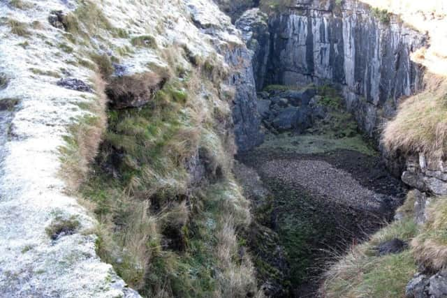
It is also a worthy walk in its own right, the main objective being Hull Pot, a short detour from the route. Hull Pot looks like a long-abandoned quarry but is, in fact, England’s largest natural hole, measuring 300ft long by 60ft wide and 60ft deep. After heavy rain two impressive waterfalls cascade into it from the moor. Keep away from the edge and be aware that the grassy banks are slippery. The route makes use of three popular footpaths: the Pennine Way from Horton, part of the Three Peaks route, then another stretch of the Pennine Way which also carries the Ribble Way. Look out for ravens and red grouse.
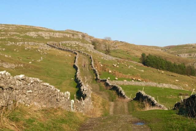
1. If starting from the station, cross the line with care at the south end of the northbound platform, go through a gate and walk past houses to the main road. Continue ahead to turn right on a pedestrian footbridge leading to the car park. From here go right on Horton’s main street and beyond the cafe turn left at an opening next to the Old Vicarage. Follow Horton Scar Lane for approximately 1 1/2 miles to a gate.
Advertisement
Hide AdAdvertisement
Hide Ad2. From here continue ahead along an obvious path for about 350 yards to view the chasm of Hull Pot. Retrace your steps to the gate turn right to follow the Yorkshire Three Peaks path signposted to High Birkwith via Whitber. Cross Whitber Hill, bearing left at a wall corner, and continue northwest on a good track, eventually dropping down to join the Pennine Way below Jackdaw Hill.
3. Turn left on the Pennine Way to walk south to Sell Gill, where the route becomes part of the Ribble Way. Follow the obvious track which eventually descends to the Crown Hill, Horton. Go left over the bridge back to the car park or continue head over another bridge to return to the station.
Difficulty rating: 2 stars.
Distance: 5 miles
Time: 2 1/2 hours
Maps: OS Explorer (1:25000) OL2 Yorkshire Dales Southern & Western areas or OS Landranger (1:50000) Sheet 98 Wensleydale and Upper Wharfedale.
Parking: Horton-in-Ribblesdale (pay-and-display).
Public transport: Horton-in-Ribblesdale is on the Settle-Carlisle line served by trains from Leeds and Skipton. For times visit www.settle-carlisle.co.uk or phone Traveline on 0871 2002233 (charges apply).
Toilets and refreshments: Horton-in-Ribblesdale