Weekend Walk: Casterton Fell


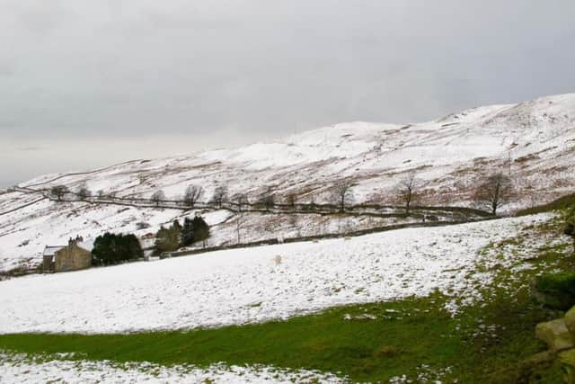
It’s a satisfying objective because of the lovely landscape over which it presides and fine long-distance views. OS maps suggest the fell is to the north-east, but Alfred Wainwright - always meticulous in his cartography - puts the summit at the trig point visited on this walk. Of special interest is the area around Bullpot of the Witches and Easegill Kirk, beneath which lies an extensive caving system. The detour signposted at Bullpot Farm is recommended. A better start to the walk would be the path from Barbon village through woodland below Barbon Manor, but a footbridge near Blindbeck Bridge was damaged in the floods of 2015/16 and is out of bounds. When repaired, use this approach. Look out for the occasional red deer. Carrion crows and meadow pipits are the commonest birds.
1. Near offload parking at Blindbeck Bridge look for the signposted bridleway to Bullpot. Take the gently rising path and, near to a waterfall on the left, watch out for a sharp right turn taking the path on a brief zigzag uphill. The course then continues as before. At a gate the path becomes a walled green lane before arriving at Bullpot Farm.
Advertisement
Hide AdAdvertisement
Hide Ad2. If making a detour to visit the potholes area around Ease Gill Kirk use a hand gate immediately past the farm building. Continuing the walk, follow the tarmac road uphill from Bullpot Farm and look for a public footpath sign at a gate on the right.
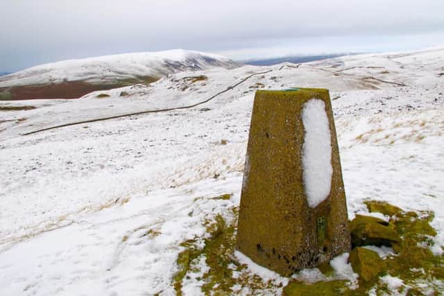
3. Follow a rough track uphill and left along the fellside. At a gate go right to follow a wall. At a fence go through a gate and bear right to the trig point on Casterton Fell. Rejoin the wall, continue downhill and at another wall go right to cross a stile then turn left and follow the path downhill. Past a sheep fold, cross a beck and turn left to follow a track downhill.
4. Turn right onto a single track tarmac road and follow it to meet the Barbon road to Dent. Turn right and walk with care back to the car parking area.
Difficulty rating: 4 stars
Distance: 6 miles
Hours: 3 hours
Map: Ordnance Survey Explorer (1:25,000) sheet OL2, Yorkshire Dales Southern & Western areas
Advertisement
Hide AdAdvertisement
Hide AdParking: Informal off-road parking near Blindbeck Bridge (grid ref: SD 65542 82618) approx 1.5 miles east of Barbon village on unclassified Dent road. Barton is 3.3 miles north from Kirkby Lonsdale, off A683).
Public transport: No convenient service
Refreshments: Barbon, Casterton, Kirkby Lonsdale
Toilets: For refreshment customers. Nearest public toilets at Devil’s Bridge, Kirby Lonsdale.