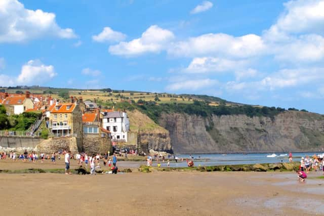
Weekend Walk: Robin Hoods Bay & Maw Wyke


Many people head south to enjoy the sweeping views across the bay to the promontory of Ravenscar. A fine alternative, though, is this walk northwards to the cliffs at Maw Wyke. Along the route are two interesting features. The first is the Rocket Post Field, where a post was used as anchor for a rope fired to a boat below Ness Point in order to practice the rescue of shipwrecked sailors. The other is the coastguard lookout point. The walk follows the Cleveland Way outbound and returns along the Cinder Track. In spring and summer there are plenty of kittiwakes nesting at Maw Wyke. In winter look out of cormorants along the shore.
1. From the old station car park opposite the toilets walk back to the main road. Cross with care and go left and then right along Mount Pleasant North. Following the Cleveland Way signage pass through a gate and join a fenced track. Beyond the houses and gardens go through another gate and walk along the Rocket Post Field on the left.
Advertisement
Hide AdAdvertisement
Hide Ad2. Continue on the Cleveland Way as it follows the cliff edge round Ness Point, also known as North Cheek. The path dips into a small gulley and proceeds through a kissing gate along the field edge. Look left for a small building that is the coastguard lookout point. Keep with the path as it curves round the headland. A static caravan site appears ahead, and behind it the sea cliffs at Maw Wyke. After another two gullies the path swings left to a fork in the path.
3. Don’t take the the Cleveland Way option which continues to the right. Our path forks left, (signposted to Hawsker) and cuts through the caravan site. Go through a gate further on and turn right to follow the lane past the site’s reception then left as it continues towards High Hawsker.
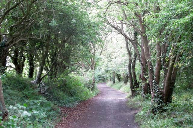
4. The road arrives at the old Scarborough to Whitby railway line, signposted as the Cinder Track. Turn left and follow it back towards Robin Hood’s Bay. As it gets closer to the village look left for another view of the coastguard lookout. Continue ahead to houses and go left back into Mount Pleasant North. Walk back to the main road and car park.
Difficulty rating: 2 stars.
Distance: 6 miles
Time: 3 hours
Map: OS Explorer (1:25000) OL27 North York Moors Eastern Area
Parking: Robin Hood’s Bay (pay & display).
Advertisement
Hide AdAdvertisement
Hide AdPublic transport: Robin Hood’s Bay is on the Arriva X93 bus route between Scarborough, Whitby & Middlesbrough. For times call 0871 2002233 (charges apply).
Refreshments & toilets: Robin Hood’s Bay.