Weekend Walk: Turbary Road & Kingsdale


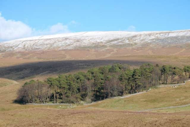
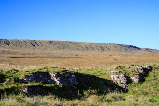
On its east side rises Whernside, Yorkshire’s highest mountain, and on the west side is Gragareth, the highest point in Lancashire. The dale also includes several potholes with an international reputation, including Rowten Pot (passed on the walk) which extends for 17 miles beneath Kingsdale. The delightful high-level track used for part of the route is one of the best walking routes in the Dales and centuries ago was used by peat cutters. Another reason to visit Kingsdale is Yordas Cave, a former Victorian showcave. It requires a torch, good boots and a sense of adventure. The final part of the walk is along the quiet fell road through Kingsdale. Birds include common buzzard and ravens, and in spring they are joined by curlew, lapwing and wheatear.
1. From the Ingleton direction there is roadside parking before the downhill slope to peaceful Kingsdale. Go through the wall gate, curve left then right to pass behind the stone building and follow a clear track up the hill. Beyond another gate the track eventually curves sharp right at the end of a low limestone scar then left to cross the high moor towards a wall.
Advertisement
Hide AdAdvertisement
Hide Ad2. Running parallel to the wall is a track, the Turbary Road. Turn right and follow the gated track enjoying views of Ingleborough and Whernside to the right and the long ridge of Gragareth on the left. Near the end of the fifth walled enclosure, on the right is a chasm marking the entrance to Rowten Pot.
3. Continue through another gate, passing Jingling Pot on the left. Beyond the next wall the Turbary Road proceeds straight ahead for a short distance they slants left uphill on a rougher track. Go through a gate, continue ahead beside a wall then turn right through a gate and follow the rough path down past Yordas Wood.
4. Go left at the bottom to find the stepped entrance to Yordas Cave. If you have adequate equipment, pay a visit. To continue the walk, go down to a gate and turn right to follow the usually quiet fell road with care, enjoying the peace of Kingsdale. It is a 2 1/4 mile walk back to the starting point.
Difficulty rating: 3 stars
Distance: 5 1/2 miles
Time: 3 hours
Maps: OS Explorer (1:25000) OL2 Yorkshire Dales Southern & Western areas or OS Landranger (1:50000) Sheet 98 Wensleydale and Upper Wharfedale.
Advertisement
Hide AdAdvertisement
Hide AdParking: Layby on left side of unclassified road from A65 between Thornton-in-Lonsdale and Dent. Grid ref 692757.
Public transport: None convenient for this walk
Refreshments: Thornton-in-Lonsdale, Ingleton
Toilets: Ingleton