Weekend Walk: The Luddenden Valley


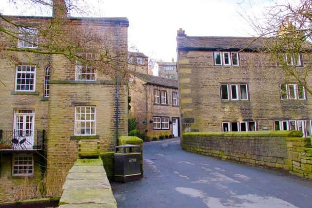
It is the quintessential Pennine dale with woodland and drystone walled meadows on its slopes gradually tapering to areas of rough grazing and high moorland. The sense of remoteness is extraordinary considering the area’s closeness to the heart of industrial West Yorkshire. In the 17th century the village of Luddenden and its satellite hamlets became prosperous through handloom weaving, and many houses survive from that period. Helpfully, interpretation boards have been placed along the route by the very active Luddenden Conservation Society. Of particular interest is a fine gothic arched gatehouse at the start of Catherine House Lane. Watch for long-tailed tits and jays in woodland, kestrels in the upper valley.
1. Turn right from the car park and at a fork go right, downhill. Follow the road as it curves uphill past a mill wheel and keep stay on the village street to cross a bridge and wind between St. Mary’s church and the Lord Nelson pub. Look for a sign taking the path above the church on a fairly straight course. Follow it past the hamlet of Booth to emerge on a main road.
Advertisement
Hide AdAdvertisement
Hide Ad2. Turn right and cross the bridge. Follow the road uphill and take a lane forking left into the charming Wade Wood nature reserve. Keep with the main path and eventually a Calderdale Way sign is found on the ground, taking the pat up to the right. At an open area ignore steps going right and keep ahead. The path eventually follows the woodland edge and climbs up past a house to emerge on a tarmac lane.

3. Turn left and follow the road to the top of the dale. Go left past The Lowe farm, cross the bridge and curve round the back of a splendid gothic building, once the gatehouse for Castle Carr. Follow the good track, known as Catherine House Lane. At a fork take the right option uphill and at a junction go right then quickly left. Before a house look for a stile on the right, taking the path along the edge of Midgley Moor.
4. At a prominent stile descend towards Brownhill. At a sharp behind go left to pass between buildings and follow the lane downhill. At a T-junction continue ahead on a cobbled lane. At another junction turn right to follow a crumbling lane with care to emerge on a bend in front of a school.
5. Turn left and walk past houses. Across the road look for a bridleway sign on a lamppost and fork right to follow the hard surface path, passing a recreation ground. Eventually the bridleway becomes a path and, through a gate, follows the edge of a field. Beyond Greave House it drops steeply down to pass a line of houses and emerge back on Luddenden Lane. Turn left to return to the car park.
Difficulty Rating: 3 stars
Time: 2 1/2 hours
Distance: 6 miles
Maps: OS Explorer Sheet OL21 South Pennines
Parking: Luddenden Lane, Luddenden (Honesty Box)
Advertisement
Hide AdAdvertisement
Hide AdPublic Transport: Luddenden is served by the Halifax-Midgley Circular bus service 574. Halifax is served by trains on the Calder Valley Line from York, Leeds, Bradford Interchange, Wakefield, Huddersfield and Halifax. For all times check www.wymetro.com or call 0113 245 7676.
Refreshments & toilets: Luddenden