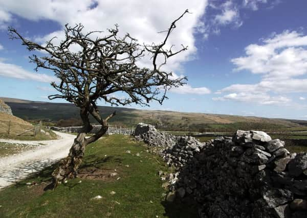
Country & Coast: Old drovers' network is begging to be rediscovered


The concept was this: try relaxing in an armchair with a map instead of a book. Personally, I rarely opened maps at home but I remember going to my rucksack, digging out my favourite OS Landranger (sheet 98 for Wensleydale & Upper Wharfedale) and sitting down to enjoy it with new eyes.
Despite all the smudged ink from soakings, the coffee stains and mud smears, I began to read the landscape as though the map was a history book, noticing ancient cave settlements, Iron Age forts, medieval allotments and - most striking of all - a network of old tracks.
Advertisement
Hide AdAdvertisement
Hide AdThis wasn’t so much a Road to Damascus moment, more like the Road to Dent, because I spotted something that looked like a very promising walk: an improbable road running across tightly packed contours and wild moorland between the head of Deepdale and the road that runs from Barbon into Dentdale. It wasn’t one of those tarmac roads coloured red, orange or yellow, but simply two parallel black lines which the map’s key defined as “other road, drive or track.” In Yorkshire, these are known as green roads.
The more I read the map, the more green roads I discovered. That great authority on the Dales, the late Arthur Raistrick, produced a whole book on the subject. “A winter evening spent with adequate maps,” he wrote in 1978, “will soon reveal that these many fragments of green roads and bridle paths can be linked up into a few continuous ways, winding and twisting up hill and down dale, full of corners and divergencies, to ford a stream or to avoid a crag, but nonetheless on the long view, keeping a remarkably straight line for a score of miles, often crossing the whole Dales area.”
Many were early pack-horse and drovers’ routes, Raistrick noted, some constructed by the monks at Fountains Abbey. Others date back to Roman times. However, since the roads were created to convey goods and livestock from A to B, today’s walkers need to have a car or bus option available at the other end to get them back to their starting point unless they have booked accommodation ahead.
My own favourites are the old Roman road running out of Wharfedale to Bainbridge in Wensleydale, and Galloway Gate from Garsdale round the side of Great Knoutberry Hill into Dentdale, part of a drover’s road from Galloway in South-west Scotland. Perhaps the most-loved green road in Yorkshire is Mastiles Lane, which I found myself tramping a few weeks ago. It starts at Kilnsey in Wharfedale and traverses Malham Moor to eventually reach Helwith Bridge in Ribblesdale.
There is, so far as I know, no current long-distance trail circuiting the Yorkshire Dales almost entirely on these tracks, yet surely such a trail would be popular. The Dales Green Way anyone?