Path that put the North Riding on the map


In the ensuing half-century, the event in the old North Riding has been the least remembered of the three, for it happened in a place in which, as a famous Government film put it, little had changed “since Edward II fled to safety on a swift horse to York”.
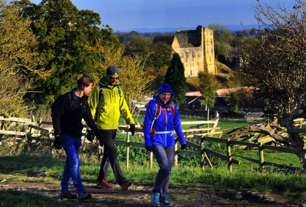
Yet the opening of the Cleveland Way was a milestone in opening up the countryside. Its 109 miles between Helmsley and Filey Brigg, skirting the northern and western fringes of the North York Moors National Park, now attract some 350,000 visits a year, with up to 2,000 people doing close to the full length – which takes in the sweeping escarpment of Sutton Bank, the cliff tops around Skinningrove and the long Scarborough coast.
Advertisement
Hide AdAdvertisement
Hide AdA programme of events aimed at putting it on the map figuratively as well as physically has now been unveiled to mark its golden anniversary next May.
They will include the appointment of an artist in residence – landscape painter Debbie Loane, from Easingwold – and a competition to shoot a new film to replace the 1970s original, which told of “the geography of peace” where “witches cast their spell over many a sleepy hamlet”.
The highlight will be a celebration walk in 1960s hiking apparel from the youth hostel at Helmsley, where the local Ramblers’ Association was instrumental in creating the route, along the tree-lined path to Rievaulx Abbey.
The Cleveland Way – it predated the new county of the same name – was the second of Britain’s 16 long-distance footpaths, now renamed National Trails. The first, the Pennine Way, was also in Yorkshire and it now has a third, the Wolds Way, dating from the 1980s.
Advertisement
Hide AdAdvertisement
Hide Ad“It’s the variety that makes it so special”, said Malcolm Hodgson, National Trails officer for the area.
“It’s pretty much half and half between great heather moorland with lovely market towns in between, and the 50-odd miles of coast, through old fishing villages like Staithes and Robin Hood’s Bay, as well as historic towns like Whitby, before you get to Scarborough and Filey, where it meets the Wolds footpath.”
He added: “It’s not just about the walk itself but also the wider experience of pubs and B&Bs and everything else that people appreciate.
“Walking and beer go together very nicely.”
The Cleveland Way is more challenging than the Yorkshire Wolds Way but far less so than the Pennine Way, which was conceived on the lines of the American Appalachian Trail and is, Mr Hodgson said, “the closest you get to an English wilderness”.
Among a raft of charity events, the 50th anniversary will also be marked by a 50-mile ultra marathon trail and, in June, a 5km family run.