Where 936 new homes should be built in Whinmoor, Swarcliffe, Cross Gates, Halton and Colton


The site allocations plan (SAP) is the city’s new housing master plan, outlining in extensive detail where new homes should be built in Leeds over the coming decade.
Following a year of disagreements, which culminated in an inquiry into the plans, Leeds City Council this month finally rubber-stamped the document.
Advertisement
Hide AdAdvertisement
Hide AdThe SAP is split into 10 “housing characteristic areas”, each with their own proposed sites earmarked for housing and employment development.
This article will focus on plans for East Leeds, which contains Whinmoor, Swarcliffe, Manston, Cross Gates, Austhorpe, Whitkirk, Halton, Halton Moor, and Colton, Temple Newsam Park and Cross Green.
The document also lists green spaces which should be protected from development.
It is expected that developers will use the SAP as a guide on what they can build in Leeds and whereabouts, while the council claims it will give the city extra protection from “bad developments”.
Sites included in the SAP for east Leeds are:
York Road/Selby Road (0.9 hectares) – 12 units
Advertisement
Hide AdAdvertisement
Hide AdRed Hall offices and playing field (13.91 hectares) – 50 units
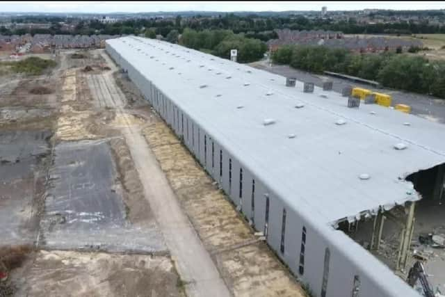
Former Vickers Tank Factory, Manston Lane, Cross Green (21.49 hectares) – 450 units
Wykebridge Depot, Killingbeck Bridge (0.64 hectares) – 23 units
Cartmell Drive, Halton Moor (5.66 hectares) – 170 units
Colton Road East, Colton (0.52 hectares) – 17 units
Rothwell Garden Centre, Wood Lane (3.16 hectares) – 83 units (31 in east Leeds).
Advertisement
Hide AdAdvertisement
Hide AdSt Gregory’s Primary School, Stanks Gardens, Swarcliffe (1.83 hectares) – 33 units.
Barrowby Lane, Manston (21.17 hectares) – 150 units and 10 hectares employment space.
This leaves a total allocation capacity of 936 new homes for east Leeds.
Two sites in east Leeds were identified as possible locations for schools to be built in the future: one at the read of Seacroft Hospital, and another described simply as “East Leeds Extension”.
Advertisement
Hide AdAdvertisement
Hide AdNo new sites were allocated for gypsies and travellers, or for travelling showpeople.
The SAP also listed two sites in East Leeds for employment use – the former ice cream factory at Manston Road; and a site in Barowby Lane, Manston.
A total of 99 sites were identified as protected green space.