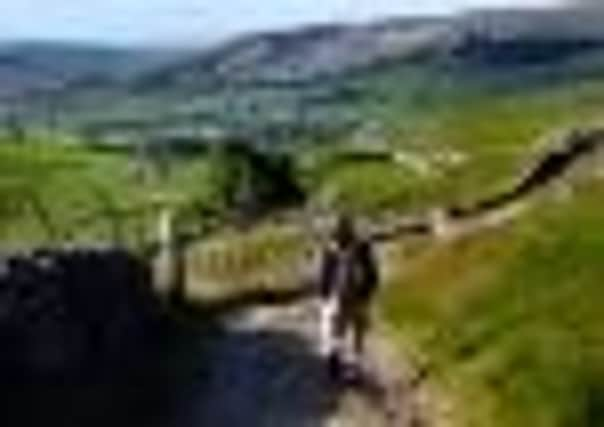
Walkers face a change of direction


Anyone who has done the Three Peaks challenge walk will recall that the most unpleasant underfoot conditions are found between Penyghent and Whernside, across boggy areas of Horton Moor that have been given names like Black Dubb and Red Moss.
It always comes as a surprise to walkers to find such a comparatively eroded and haphazard route after leaving the well-maintained path which took them to the summit of Penyghent, the first of the Three Peaks in the Yorkshire Dales.
Advertisement
Hide AdAdvertisement
Hide AdThe problem with the Horton Moor route, as far as the Yorkshire Dales National Park is concerned, is that it has never actually been a recorded public right of way. The farmers across whose land the route passes maintain that its status has only ever been that of a so-called permissive footpath, which would allow them to occasionally close it for livestock management purposes.
Now, however, the problems that have dogged this part of the route – referred to by National Park officers as – “the missing link” – are about to be tackled. A major online survey (see below) is underway to find out how users of the path would like to see it changed for the better, while a wider picture is being sought to understand where walkers come from and how their needs can be met on the entire 25-mile walk round the summits of Penyghent, Whernside and Ingleborough.
Thousands of people do the Three Peaks trek every year, most of them as part of large organised groups to raise funds for charities like Macmillan Cancer Support and the British Heart Foundation. This usage of the route has been increasing over the last 40 years and, to deal with it, in 1987 the National Park set up the Three Peaks Project with a staff of 13. Its remit included trialling new path designs and materials, and restoring some of the badly eroded vegetation.
Many of the project’s objectives were achieved, but with the Three Peaks walk continuing to grow in popularity more work was needed, even though up to a quarter of the National Park’s whole budget for rights of way maintenance was going into the Three Peaks area, including link paths from places like Ingleton and Clapham. So a couple of years ago it was decided to launch a new Three Peaks Project, this time with the emphasis on raising funds to support work on the footpath and employing a full-time member of staff who would be engaged purely on footpath maintenance.
Advertisement
Hide AdAdvertisement
Hide AdSteve Hastie, the National Park’s area ranger and Three Peaks project manager, says that despite large sums of money being spent on the route the National Park was not “getting on top” of the problems.
“The route really needs almost week-on-week care to keep ditches clear and the drains on paths open so that water can run off. If the drains get filled with silt and water stays on the path, on a gradient it can take a whole section out very quickly.”
As part of the new project the National Park launched a support group, Friends of the Three Peaks, aimed at raising funds to keep the route’s surfaces, stiles and waymarking signs in good condition and to take part in hands-on working parties under the guidance of rangers. So far there are about 300 individual members plus 80 corporate and charity members.
Steve says: “A major part of the project is tackling the so-called Three Peaks missing link over Horton Moor. It’s quite a long section, about four kilometres in total, and it goes over some very sensitive wet ground where it’s eroded down to the subsoil and where it’s on a gradient it has sort of scoured out as well.”
Advertisement
Hide AdAdvertisement
Hide AdThe likely solution is to create a new section of Three Peaks footpath, which would probably make the route slightly longer. And because this could potentially be a controversial move, the National Park has set up a Three Peaks Survey to consult walkers and hopefully win them over to whatever work is finally decided.
Tampering with such a long-established and popular route would not be done lightly. In the early 1990s it was found necessary to create a major elongation of the route up Whernside, taking it north along the Craven Way and almost round the back of the mountain to replace the traditional abrupt ascent of the eastern flank from the Ribblehead Viaduct.
To help with the proposed work the National Park has won a prize of e30,000 after entering a competition run by the European Outdoor Conservation Association, set up by big outdoor clothing manufacturers to fund various projects around the world.
The bid for money to help the Three Peaks project came top with readers of Trail magazine, who were asked to judge the entries. The money will pay for work on the Three Peaks Survey, which will include volunteers recording the number of people using the route on Horton Moor, asking them how they use the path and whether they would approve of the proposed diversion.
Advertisement
Hide AdAdvertisement
Hide Ad“We would like people to be answering ‘yes’ to that one,” Steve says, “and so far the evidence suggests that a good 90-odd per cent of walkers are saying they would use it.”
If the public reaction continues to be good, agreements with landowners, an environmental impact assessment and survey work will be carried out and new waymarking – including the new Three Peaks logo – should be in place by the spring of 2013.
The Three Peaks survey can be found at www.yorkshiredales.org.uk/threepeaks and everyone who completes it will be entered into a free draw with a chance to win a year’s membership to Friends of the Three Peaks as well as exclusive merchandise. The survey will be available until October 31, 2011. All entrants in the prize draw must be 18 years old or over.