WEATHER WARNING: Icy blast extends into weekend as Yorkshire warned to expect snow and ice


Yellow weather warnings have once again been issued for the county, making it a fifth day running that conditions have warranted notes of caution from the Met Office.
Advertisement
Hide AdAdvertisement
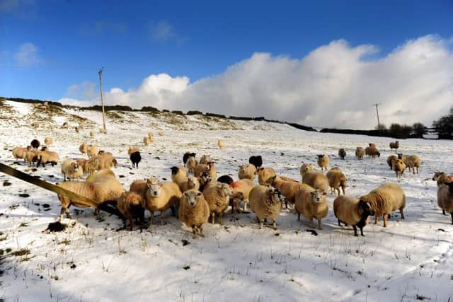
Hide AdThe big chill started on Tuesday and has seen much of the county hit with snow storms, high winds and extremely difficult driving conditions.
Friday’s warning centres around the northern and western parts of Yorkshire, as far south as Scarborough and just taking in Harrogate and Rotherham, with the Met Office website warning of icy conditions and possible snow storms throughout most of the day. Saturday’s warning is for icy conditions only but stretches further south beyond York.
The warning states: “Ice is expected to form on untreated roads, pavements and cycle paths across parts of southeast Scotland and northeast England from late Thursday afternoon. Some injuries from slips and falls are likely.
“Following snowfall across southeast Scotland and northeast England on Wednesday night some melting and refreezing is likely on untreated surfaces with surface temperatures falling below freezing from mid afternoon.
Advertisement
Hide AdAdvertisement
Hide Ad“Snow showers will affect the northwest of the UK during Thursday and Friday, although often falling as sleet and hail near windward coasts. The high ground of Northern Ireland and northern England will also see 10-15 cm building up. At low levels, parts of the warning area will see 3-7 cm of snow but some places near the west coast will see very little. Showers will be accompanied by hail and lightning at times,
“Travel delays on roads are likely, as are public transport cancellations. In a few places, mainly upland areas, vehicles may become stranded. There is a chance of power cuts, while services such as mobile phone coverage may be affected. A few rural communities may become cut off. In addition some roads and pavements will turn icy, increasing the chances of accidents or injuries.”
The Met Office warning for Saturday warns: “Ice is likely to form through Friday night and last into Saturday morning with some sleet and snow showers continuing in places. There will probably be ice on some untreated roads, pavements and cycle paths, potentially resulting in some injuries from slips and falls.
“Sleet and snow showers will eventually become confined to areas exposed to the westerly winds overnight, but following the showers of Friday, ice will then be the main hazard, particularly on untreated surfaces. The snow showers may give an additional 1-3 cm of snow in places.
Read more: