Last day of mild weather before Arctic blast pelts Yorkshire with wintry showers


Conditions will remain mild today (15 Jan), with highs of around 10C and a minimum temperature of 8C. Tomorrow temperatures should drop slightly before they cool considerably on Thursday, as a blast of Arctic air will bring freezing temperatures and wintry conditions to Yorkshire.
According to the Met Office, tonight Yorkshire will be “mild and mostly cloudy. A few spots of rain may develop at times. Becoming windy with some strong gusts, particularly over high ground.”
Advertisement
Hide AdAdvertisement
Hide AdWednesday will be “cloudy during the morning with outbreaks of rain, heavy at times. Brighter but with a few showers through the afternoon. Cold overnight. Strong winds throughout.”
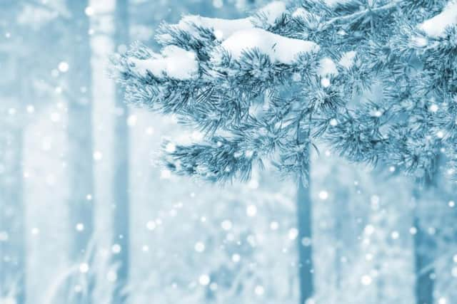
“Cold on Thursday with a risk of wintry showers. Dry with long sunny periods Friday and Saturday, though remaining cold with hard overnight frosts.”
UK forecast
On Wednesday, “occasionally heavy rain will move eastwards across much of England and Wales. It will be followed by colder weather, with sunshine and showers, perhaps falling as snow over northern hills,” the Met Office said.
“Frosty morning on Thursday, then a colder day, with wintry showers north. Friday starting dry, perhaps icy, then rain and hill snow arriving into west, lingering into Saturday.”
Long-term forecast
Advertisement
Hide AdAdvertisement
Hide AdLooking ahead to this weekend and the remainder of the month, the Met Office UK outlook for Saturday 19 Jan to Monday 28 Jan explains that “outbreaks of rain, sleet and some snow are likely to move slowly south and eastwards on Saturday, but tending to become lighter and more patchy they do so.
“Sunday looks generally quiet, with a good deal of dry and bright weather. Thereafter, it looks set to remain mainly on the cold side, but also unsettled and sometimes windy, with gales possible in the north.
“Any milder spells will tend to be brief, and associated with longer spells of rain. The rain could turn to snow at times, particularly across northern, central and eastern areas, especially later in this period.
“Some drier, brighter spells are likely, perhaps with snow showers, during such spells, frost could become widespread and severe.”