Tropical Storm Kyle 2020: Met office forecasts torrential rain, thunder and a drop in temperatures - here’s what to expect
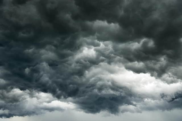
The weather of late has seen warm temperatures and bright sunny skies, but that all changed this week as Tropical Storm Kyle hit the UK, bringing with it heavy rain, thunder and a drop in temperatures.
Here’s this week’s weather forecast.
What will the weather be like this week?

Storm Kyle has now been replaced by Storm Ellen, which carries remnants of the previous storm. The Irish Weather service, Met Éireann, has named “Storm Ellen for disruptive and potentially damaging winds Wednesday evening (19 August) and throughout Thursday (20 August).”
Advertisement
Hide AdAdvertisement
Hide Ad“Due to the combination of storm surge, spring tides and onshore winds there is a risk of some coastal flooding. There is a risk also of some inland and river flooding with some potentially heavy, thundery downpours,” Met Éireann added.
Met Office Chief Meteorologist, Steve Ramsdale says, “Following the recent hot and thundery weather we are seeing a significant change to very unsettled conditions for August with an unseasonal spell of strong winds associated with low-pressure centres for the second half of the week.”
Rain will clear north on Thursday 20 August, with showers in the west and sunny periods in the east.
Friday 21 August will see blustery showers in most places, with some spells of cloud and sunny intervals.
What will the weather be like this weekend?
Advertisement
Hide AdAdvertisement
Hide AdThis weekend will continue to be generally unsettled, with showers and longer spells of rain at times, which could potentially become heavy in places. However, there will be some bright spells in places.
The Met Office forecasts, “Bands of rain sweeping northeast on Thursday followed by sunshine and showers on Friday and Saturday, frequent in the northwest. Windy with gales at times in the north and west.”
Long-term forecast
Temperatures should be rather warm for many next week, despite the spells of unsettled weather.
However, these will likely fall away through the last weekend in August. It is forecast to become rather cool for many northern and western areas of the UK. This drop in temperatures will be accompanied by strong north-westerly winds.
Advertisement
Hide AdAdvertisement
Hide AdLooking ahead to the beginning of September, although confidence is low for this period, “it is likely that conditions will become more changeable with drier and brighter days interspersed with periods of rain and strengthening winds,” explains the Met Office.
Temperatures should be around the average for this time of year. Towards the middle of September, there are some signs that high pressure could begin to dominate, especially across the south of the UK, with a return to more settled weather conditions.