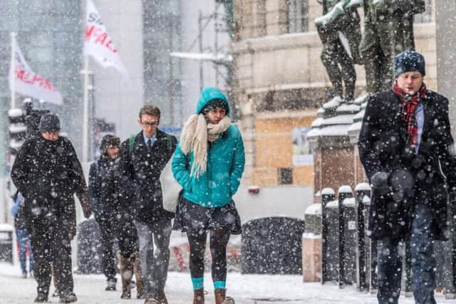
This is what you should expect after Met Office say BLIZZARD conditions could hit Yorkshire and issue weather warning


The warning, which is in place between 12pm on Saturday (December 15) and 10am Sunday (December 16), covers the large majority of northern England and Scotland.
It is issued because there is expected to be snow and ice in the region and 'blizzards', according to officials.
Advertisement
Hide AdAdvertisement
Hide AdThe Met Office have said: "Heavy snow and blizzards may develop across Scotland and northern England with a risk of freezing rain in places."

These are things the Met Office are warning the people of Leeds to expect:
- Possible travel delays on roads stranding some vehicles and passengers
- Possible delays or cancellations to rail and air travel
- Some rural communities could become cut off
- Power cuts may occur and other services, such as mobile phone coverage, may be affected
- A chance of injuries from slips and falls on icy surfaces
Advertisement
Hide AdAdvertisement
Hide Ad- Bus and train services may be delayed or cancelled, with some road closures and longer journey times possible
- Untreated pavements and cycle paths might be impassable because of black ice
There is a risk of snow developing with strong southeasterly winds affecting northern UK on Saturday afternoon into Sunday morning.
The snow could be heavy at times, especially over hills where blizzards may develop, and is likely to drift in strong winds.
Advertisement
Hide AdAdvertisement
Hide AdAcross northern England and southern Scotland, snow may turn to freezing rain above 200-300 metres leading to widespread ice developing on Saturday night.
2-5 cm of snow is likely at lower levels, whilst higher ground could see 10-20 cm.