This is when snow is set to hit Yorkshire as temperatures begin to dip


According to the Met Office UK outlook for Friday 11 Jan to Sunday 20 Jan 2019, this Friday “will be cloudy for many, with the best of the brightness in the north.
“It will probably turn more unsettled from the northwest into Saturday, with heavy rain and strong winds followed by showers, and some snow is likely over higher ground in the north.
Advertisement
Hide AdAdvertisement
Hide Ad“Gales will be possible in the north and west, and it will turn colder from the northwest."
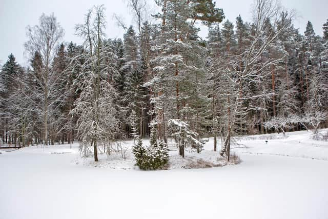
However, as the weather becomes more changeable, snow is increasingly likely in the north of England.
“The weather is set to become generally more changeable, with gales at times and bands of rain crossing from the west. Some snow is expected in the north, especially in brighter, showery, colder interludes between weather systems,” said the Met Office.
‘snow to lower levels at times in the north’
Looking further head, from Monday 21 Jan to Monday 4 Feb “This period is likely to start with predominantly wet and windy weather, and a chance of heavy rain and gales at times, especially in the north,” add the Met Office.
Advertisement
Hide AdAdvertisement
Hide Ad“Hill snow is also possible, as well as snow to lower levels at times in the north. Temperatures will vary between mild and rather cold at times, with overnight frosts during settled spells.
“However, as the period progresses there is an increased likelihood of a change to colder weather becoming established generally, bringing an enhanced risk of frost, fog and snow.”
This week’s weather forecast
Today, Yorkshire is set to be “A rather cloudy day, with outbreaks of rain spreading south, perhaps heavy at times across the Pennines,” said the Met Office.
“These clearing south later in the later, with some brighter or sunny spells possible later, especially across North Yorkshire. Also turning rather breezy. Maximum temperature 11 °C.
Advertisement
Hide AdAdvertisement
Hide AdTonight will see “Clear skies developing for most, although some blustery winds continuing, especially along the coast. Feeling cold with a patchy frost possible by dawn. Minimum temperature 2 °C.”
Tuesday will be “Largely sunny, with winds continuing to ease. However it will be a cold day, with the odd shower perhaps moving into coastal areas, and possibly turning wintry across the hills. Maximum temperature 8 °C.”
“Cold, frosty start Wednesday, then largely sunny. Patchy frost possible Thursday morning, then turning milder and cloudier, perhaps with the odd spot of drizzle. Staying rather cloudy Friday.”