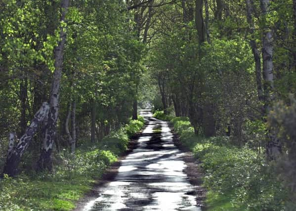
Bike Route: A ride with autumn at its best


It was autumn at its very best with the leaves turning on the trees and a crisp, fresh feel in the air. I’d also chosen a fantastic part of the county to explore too, taking in the rural flatlands that lie to the south of York.
1. I opted for South Milford as my starting location as it was easily accessible from the A1 and also housed a small railway station that would come in handy later in the day. I headed north to Sherburn in Elmet and was soon surrounded by fields as I continued towards Lotherton Hall. This was actually the hilliest part of my ride, with the first seven miles or so taking place on gently rolling terrain. As I reached the top of Towton Moor, a sign on the side of the road caught my eye so I stopped to read it and was fascinated to discover I was stood on the site of England’s bloodiest battle. 28,000 men lost their lives in one day as the War of the Roses raged there back in 1461, and the Duke of York was eventually crowned king as a result of that triumph.
Advertisement
Hide AdAdvertisement
Hide Ad2. I dropped into Towton and over the next 31 miles I racked up just 88 metres of further climbing. That’s not to say it wasn’t entertaining – far from it – the tiny biplanes flying into Leeds East Airport kept me amused as I passed through Ulleskelf, and Ryther, sitting on the banks of the Wharfe, looked idyllic before I pressed on to Cawood.
3. Stillingfleet, Naburn and Crockey Hill were each charming in their own right but it was the section between Wheldrake and Skipwith that proved to be my favourite. I’d never ventured into these villages before and was blown away by their beauty. Wheldrake’s Main Street – housing a selection of listed buildings – was designated as a conservation area in 1979 and it was easy to see why, while the magnificent Thicket Priory came into view on my left shortly before I entered Thorganby. Thorganby itself deserves a mention as an uber-quaint location, while Skipwith’s pond and village green stood out as other memorable landmarks.
4. My route to Barlby took me through Skipwith Common which has been a Site of Special Scientific Interest since 1957. Up to this point I’d been riding along the quietest of country lanes so it took me a few minutes to adjust once I’d turned on to the A163 and was back amongst traffic. That road was wide and straight though so I never felt in any danger, and I was only on it for two miles or so before I took the back road into Barlby. From there it was only a short trek into Selby, and once I’d crossed the River Ouse I turned left at the abbey and made my way to the railway station.
5. Had I set off earlier I’d have continued for a further nine miles and completed the loop back to South Milford. The lack of ascending meant I was still feeling fresh but the light was fading fast. That’s the most direct option if you fancy doing this route for yourself, although the train is a convenient alternative as South Milford lies just one stop from Selby.
Difficulty Rating: HHHHH
Time: 2 hours 17 minutes (at 17mph average speed)
Distance: 39 miles (63km)
Parking: Available at South Milford Railway Station
Grid Ref: SE 49489 32060
Public toilets: Located in Selby Railway Station
Download the GPX file: https://we.tl/iPKAK0QicA