Castle Howard estate in Yorkshire using augmented reality technology to plan its future

The Net Zero Living Digital Accelerator funding will support the use of a combination of augmented reality technology and land mapping at the 9,000-acre Castle Howard estate near Malton.
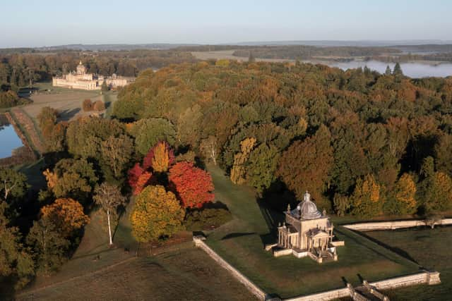
With attractive deals for habitat-creation projects on offer to landowners, managers and farmers, estates like Castle Howard, which dates back to the 1700s and took more than 100 years to complete, are trying to understand the options available and forecast potential results before committing to lengthy contracts. To do this, the estate needs to collate high-quality, accurate data to work from.
Advertisement
Hide AdAdvertisement
Hide AdThe estate is looking at how it can increase biodiversity and carbon stocks, particularly in marginal farmland and parkland areas, as it works towards the Government's 2050 net-zero goal, while exploring potential income opportunities for the business too.

Paul Brown is head of remote sensing, GIS and spatial data science at Fera Science, based in York, and explains how the firm’s LAND360 landscape assessment service is being used in collaboration with the Skylark data visualisation tool.
He said: “At Castle Howard, we've built a baseline that shows current biodiversity units and carbon stocks, to give us a benchmark to forecast from.
"We call this a ‘natural capital baseline' – analysing up-to-date imagery, mainly from satellite platforms, as well as drones for more high-resolution data and on-the-ground surveys to create a habitat map of the estate that's 90-95 per cent accurate.
Advertisement
Hide AdAdvertisement
Hide Ad"Using this, we can model potential investment plans for the estate and forecast how different decisions could work best for achieving sustainability and business income objectives.
"Using Skylark's augmented reality technology, Castle Howard will be able to see how potential plans for the estate could look in 3D, underpinned by LAND360 data.
"Being able to play out different scenarios with real-life visualisation will build land managers' confidence in making the right decisions, which is so vital ahead of signing up to long-term land use agreements."
In addition to the Castle Howard project, FERA technology helps farmers and land managers to measure, map and monitor their natural capital, so they can make more informed land-use decisions.
Advertisement
Hide AdAdvertisement
Hide AdJasper Hazell, CEO at Castle Howard Estates, believes the Skylark and Fera collaboration could lead to similar ways of approaching land management being explored more widely around the region and country.
He said: "This pioneering technology will help shape the way our land-management decisions are made in the future, to help meet the challenges of improving biodiversity and achieving net zero.
"The Innovate UK Grant funding will kickstart this research, using Castle Howard as a pilot from which wider applications can be developed across the region and nationally."