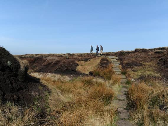
National Trust draws up 'game changing' plan to protect historic Yorkshire sites from climate change


The charity has drawn up a climate change map outlines threats posed by climate impacts including extreme heat and humidity, landslides, high winds, and floods, and how they could change by 2060, to help it to intervene to protect its sites.
The map is based on a “worst-case scenario” of a failure to drive down carbon emissions over the coming decades, but is intended to be a flagging tool to highlight potential hazards in the area of a heritage or countryside site.
Advertisement
Hide AdAdvertisement
Hide AdThe organisation, which works across the county on projects such as conservation at Marsden Moor in West Yorkshire, the Skell Valley project in Nidderdale and on reopening Wentworth Castle Gardens, near Barnsley, said its map reveals that, without action on emissions, the number of National Trust sites in areas at the highest threat level from climate impacts could more than treble from 3,371 (five per cent) to 11,462 (17 per cent) over the next 40 years.
Identifying areas at risk will help the National Trust pinpoint locations that could need interventions such as planting trees or restoring peat bogs to hold or slow the flow of water to prevent flooding.
The map will ensure that, under a commitment to plant or establish 20 million trees, trees go in the places they are needed most, the charity said.
The map shows storm damage, landslides and flooding will become common and more widespread, particularly in the North of England and Wales.
Advertisement
Hide AdAdvertisement
Hide AdThe Trust says staff are already taking action to cope with rising temperatures.
At Malham Tarn, in the Yorkshire Dales, teams can now intervene with moves such as tree planting and using certain plants to manage the water table.
National Trust director for land and nature Harry Bowell said: “This map is a game changer in how we face the threat climate change poses to the places we care for. While the data draws on a worst-case scenario, the map paints a stark picture of what we have to prepare for.
“But by acting now, and working with nature, we can adapt to many of these risks.”
Advertisement
Hide AdAdvertisement
Hide AdThe trust is working in partnership with government bodies to plot all cultural heritage sites in the UK, and has unveiled the map ahead of key UN climate talks in Glasgow to drive international action on climate change - which if successful would avoid the worst case scenario.