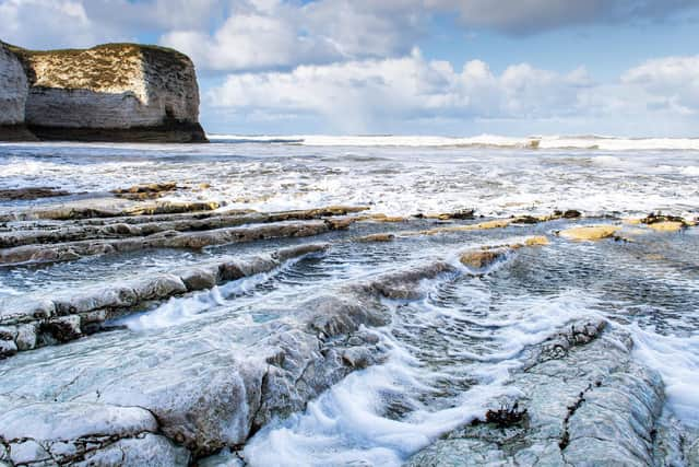
Spectacular landscape featuring huge channels discovered under the North Sea
The mysterious world features huge channels - each ten times wider than the River Thames. It was formed by vast ice sheets that covered the UK and western Europe thousands of years ago. The 'tunnel valleys' are buried hundreds of metres beneath the bottom of sea.
They are remnants of huge rivers that were a 'plumbing system' as the sheets melted in response to rising air temperatures. Lead author James Kirkham, from the British Antarctic Survey (BAS), said: "The origin of these channels was unresolved for over a century. This discovery will help us better understand the ongoing retreat of present-day glaciers in Antarctica and Greenland.
Advertisement
Hide AdAdvertisement
Hide Ad"In the way we can leave footprints in the sand, glaciers leave an imprint on the land upon which they flow. Our new cutting edge data gives us important markers of deglaciation."

Scientists used seismic reflections from rocks to create detailed 3D images of the ocean bed. The technique is similar to ultrasound scans of pregnant women to check unborn babies.
Mr Kirkham, a PhD student at Cambridge University, explained: "We fire a pulse of soundwaves that travel through the water into the seabed. It bounces back images of all the layers buried under the surface of the Earth. It has also been described as an "MRI (magnetic resonance imaging) scan of the Earth."
Mr Kirkham said: "We have discovered these huge channels that are buried hundreds of metres beneath the floor of the North Sea. We have been able to image them in unprecedented detail - for the first time ever."
Advertisement
Hide AdAdvertisement
Hide AdThe international team's findings published in the journal Geology have implications for global warming.
Mr Kirkham said: "We know the climate is changing and it's affecting the Greenland and Antarctic ice sheets. These ice sheets are extra difficult to work in. They are really cold and thick. It's really hard to get a picture of what's happening beneath the ice."
The ancient structures provide clues to how they will react to rising temperatures.
Mr Kirkham said: "By looking into the past we can offer a window into a future warmer world to understand how these modern ice sheets may respond. New processes may begin to alter the plumbing system and flow behaviour of the Antarctic and Greenland ice sheets."
Advertisement
Hide AdAdvertisement
Hide AdThe method detects features as small as a few metres beneath the surface of the Earth - even if they are buried under hundreds of metres of sediment.
Exceptional detail reveals the imprint of how the ice interacted with the channels as they formed. Comparing the ancient 'ice fingerprints' to those left beneath modern glaciers enabled a reconstruction of the how the sheets receded.
Co-author Dr Kelly Hogan, a geophysicist at BAS, said: "Although we have known about the huge glacial channels in the North Sea for some time, this is the first time we have imaged fine-scale landforms within them. These delicate features tell us about how water moved through the channels beneath the ice and even how ice simply stagnated and melted away.
"It's very difficult to observe what goes on underneath our large ice sheets today, particularly how moving water and sediment is affecting ice flow and we know that these are important controls on ice behaviour.
"As a result, using these ancient channels to understand how ice will respond to changing conditions in a warming climate is extremely relevant and timely."