Weekend Walk: Above Pateley Bridge


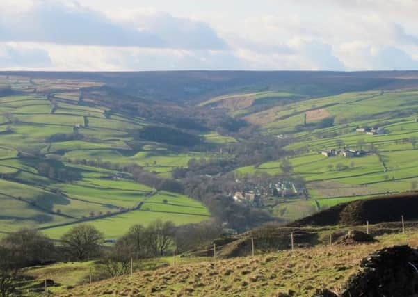
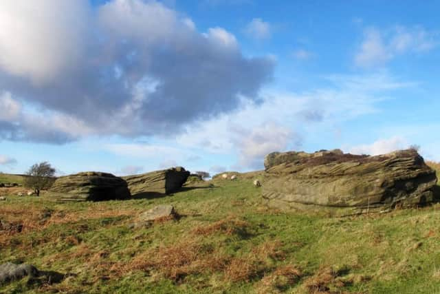
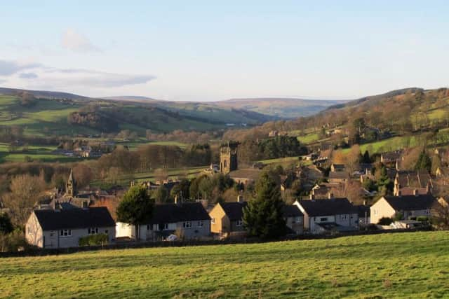
This walk, though steep at first, provides access to the best viewpoints and climaxes with a descend along the famous Panorama Walk. It is one of the oldest recreational footpaths in the region, having been given its name in 1887 when Pateley Bridge was being promoted as a tourist resort. Before that it was part of a medieval packhorse route linking Nidderdale with Fountains Abbey and Ripon. Beyond High Wild Carr look for Old Crags, a group of weathered boulders which, alas, are not as spectacular as those at nearby Brigham Rocks. Watch for a barn owl quartering the hillside below Laverock Hall. Along Panorama Walk are long-tailed tits and bullfinches.
1. At the bottom of High Street turn north into Millfield Street and follow it round into King Street. Go uphill to the church and swing left on Church Street. Immediately past Bishop Way on the right take Quarry Lane leading uphill. Beyond a cattle grid continue ahead through a handgate and follow the path up to another gate.
Advertisement
Hide AdAdvertisement
Hide Ad2. Turn left on a track for a short distance then swing right on a rough track leading uphill. The track tapers to a path and at a fork go right to cross a stream and aim for a metal handgate. On the other side take a stile on the right and turn left to follow the wall past Laverock Hall. Pass through the gateless entrance and turn left to follow a wall to High Wild Carr.


3. In the farmyard swing right and follow a track to a tarmac road. Turn left and walk past Old Crags. Go right at a footpath sign and follow a mainly straight course making a slight detour left at an old quarry. At a gate turn right and follow a wall downhill to Blazefield Caravan Park.
4. Follow the access road right to join a tarmac lane. Walk ahead to take a bridleway on the left. At an obvious fork go right to walk past Knottside Farm to join the splendid Panorma Walk. At the bottom go right and follow the road left to descend Pateley Bridge High Street and return to the starting point.
Difficulty Rating: 3 stars
Time: 2 hours


Distance: 4 miles
Maps: OS Explorer Sheet (1:25000) 298 Nidderdale
Parking: Pay and display, Pateley Bridge
Public transport: Pateley Bridge is on the 24 bus route from Harrogate Bus Station, and also served by the 823/825 Nidderdale Rambler service from Selby, Tadcaster, Wetherby and Harrogate on spring and summer Sundays and Bank Holidays. See www.dalesbus.org for details.
Refreshments and toilets: Pateley Bridge