Weekend Walk: Fountains Fell


Its heigh of 2192 feet is just 85ft short of nearby Penyghent. Half of the walk is along one of the most trodden paths in the Yorkshire Dales, the Pennine Way. The fell’s name is a reminder that this land was once owned by Fountains Abbey and used for sheep grazing by the monks. The summit has fascinating relics of coal mines which operated there from 1760 to mid-Victorian times, including an old coke oven. In summer expect to see curlews, golden plover and skylarks. Also, look out for green-veined white butterflies.
1. From the car park turn right and walk along the road for a short distance then take a gate on the left leading into Malham Tarn Nature Reserve. At a junction turn right and pass buildings to find a left turning onto the Pennine Way. Follow the clear path along drystone walls, passing two barns, and at a wall corner go left to follow a track up to the Malham-Arncliffe road.
Advertisement
Hide AdAdvertisement
Hide Ad2. Turn right and walk a short distance to fork left on the access track to Tennant Gill Farm. Before the farm entrance go left and continue past sheds and up a field to cross a wall stile. Go left and a short distance further on swing right to follow a dilapidated wall uphill. From here to the summit ridge of Fountains Fell the course of the Pennine Way is infallible.
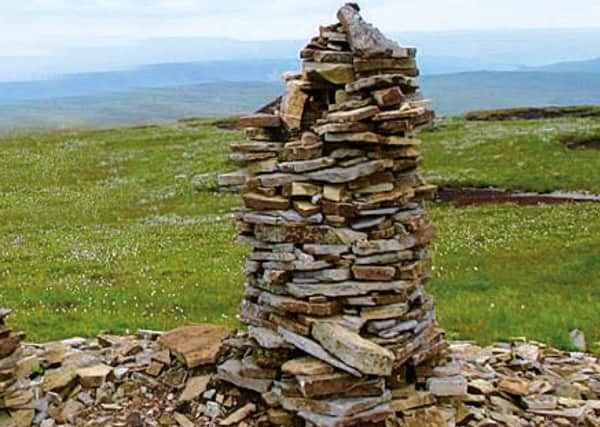
3. At some prominent cairns go left to pass a waymark post and a fenced-off mineshaft. Continue past the old coke oven to another cairn, the summit of Fountains Fell, and with your back to Penyghent follow a faint path which soon passes Fountains Tarn on the left. Aim for a wall and follow it to its junction with another wall coming from the left.
4. Cross the wall stile, turn right and then go left to continue walking with a wall and old electric fence on your right. When another wall is encountered turn left to follow a National Trust permissive path downhill. At the bottom go through two gates and follow the wall to find a handgate on the right.
5. Go through and join a bridleway for a short distance, and at another wall turn left to follow the path beside the wall, bearing left to avoid raised ground further on. On reaching the road turn right and follow it back to the car park.
Difficulty rating: 4 stars
Distance: 8 miles
Hours: 3 1/2 hours
Advertisement
Hide AdAdvertisement
Hide AdMap: Ordnance Survey Explorer (1:25000) sheet OL2, Yorkshire Dales Southern & Western areas
Parking: Malham Tarn Nature Reserve, grid ref SD882672
Public transport: The nearest bus service is the Dalesbus Malham Tarn Shuttle operating Sundays and Bank Hols Easter to October. Visit www.dalesbus.org
Refreshments: Malham
Toilets: Malham National Park Centre