Weekend Walk: Settle Circular


It makes use of some lovely old tracks on the north-east side of the town and offers a fairly short detour (allow at least 30 mins) to see the spectacular waterfall of Scaleber Force, found in a 10-acre copse owned by the Woodland Trust. A natural amphitheatre is dominated by the 40ft-high waterfall. Some physical effort is required in the uphill stretch from Brockhole Lane to Lambert Lane, but the reward is fine views over Settle and Lower Ribblesdale during the homeward stretch. Lapwings, oystercatchers, wheatears and jackdaws are the main birds in spring.
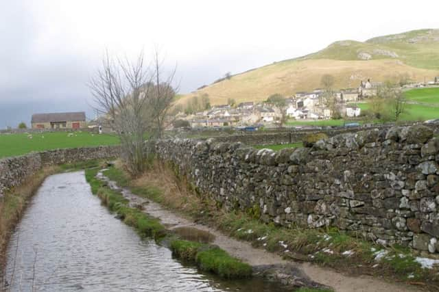
1. From the Tourist Information Centre on Settle Market Square walk north and turn right into Cheapside. Walk past the Talbot Arms into High Street. At a junction continue ahead into Chapel Square and continue ahead through a car park. Keep straight ahead on the other side to follow Lower Greenfoot, passing a rugby ground on the right and library on the left.
Advertisement
Hide AdAdvertisement
Hide Ad2. At at junction turn left to follow Ingfield Lane for a short distance then swing right to follow a walled track known as Brockhole Lane. After heavy rain part of the track carries a stretch of Meer Beck.
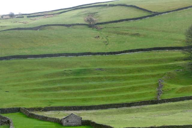
3. At two gates go left to cross a stile and follow the walled route uphill. The public footpath follows a fainter track as it slants across the lower brow of Ribblesdale. Losing the walls, aim for the top left corner of the field and pick up a clearer path on the ground to cross Lodge Gill and pass a farm.
4. At a T-junction of tracks before Lodge Farm turn left to follow the track uphill between two small plantations. At another T-junction go right on a track called Lambert Lane. After a left hand bend take the public footpath on the left which follows a wall down to an old reservoir above Mitchell Lane.
5. An optional detour to Scaleber Force is available here by continuing along Lambert Lane past Preston’s Barn and turning right on High Hill Lane. The waterfall is in woodland a short distance further on.
Advertisement
Hide AdAdvertisement
Hide Ad6. On joining Mitchell Lane from the steep track past the old reservoir, swing right and follow the road downhill back to the centre of Settle.
Difficulty rating: 2 stars.
Distance: 4 miles
Time: 1 1/2 hours
Maps: OS Explorer OL41 (1:25000) Forest of Bowland & Ribblesdale
Parking: Settle
Public transport: Settle is served by direct trains from Leeds and Skipton, and by buses on the A65 between Skipton and Kirkby Lonsdale.
Refreshments & Toilets: Settle