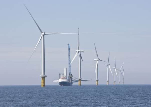
Offshore wind park ‘could lead to flooding’


Able UK wants to build a £450m marine energy park off North Killingholme, creating 4,000 jobs, but must compensate for the loss of mudflats rich in wildlife, which it plans to do by creating new wetlands on the north bank of the estuary at Paull.
Able Humber Ports Ltd is seeking planning permission to create lagoons, islands, and water storage areas, fed by two 11.5-metre high wind pumps, on land south of Sands Farm, but opponents of the development fear it will cause flooding, a drain to collapse, and would result in the loss of “some of the best rain-fed agricultural land in England”.
Advertisement
Hide AdAdvertisement
Hide AdTransport Secretary Patrick McLoughlin is expected to decide on May 24 whether to allow the marine energy park to go ahead, which would result in the loss of mudflats which are an important feeding ground for black-tailed godwits and other wading birds.
The Royal Society for the Protection of Birds has said the new port would destroy the habitat for about 66 per cent of the Humber’s black-tailed godwits.
The site is also close to the Humber estuary Site of Special Scientific Interest, which is part of a Special Area of Conservation, and a Wetland of International Importance.
The proposal is to create a wet grassland lagoon for use as a feeding and roosting habitat for estuary birds, particularly the black-tailed godwit.
Advertisement
Hide AdAdvertisement
Hide AdPaull Parish Council opposes the scheme, saying it would leave Stone Creek house “marooned”, and said the energy park “should not be allowed to impinge on those living on the north bank”.
Sunk Island Parish Council “strongly objects”, fearing a detrimental effect on the drainage of a large part of Holderness, the loss of the agricultural land, and also asks “Why should the East Riding of Yorkshire lose land for the benefit of something being built on the south bank?”
Keyingham Internal Drainage Board has also raised concerns. It said: “The name ‘Sands’ gives a clue to the subsoil. There have been no site investigations prior to this planning application.
“The board are concerned that water pumped onto the land may force itself back into Keyingham Drain, causing it to collapse.”
Advertisement
Hide AdAdvertisement
Hide AdFour local residents have also objected, raising a variety of issues, including the claim that “human welfare”, through farming, is “taking second place to wildlife”.
Able UK said in a statement: “After extensive consultation over a period of two years with UK regulators such as Natural England, The Environment Agency and The Marine Management Organisation, we agreed a broad range of comprehensive measures to mitigate any potential impact on the estuary and its features.
“This includes for the creation of the wet grassland habitat on the North Bank of the Estuary for the benefit of over wintering wild fowl and waders.
“In total we have committed to providing a £20m-plus package in respect of ecological compensation and the long term management of this is secured in the form of a legal agreement with Natural England and was submitted to the Secretary of State as part of the AMEP planning process.”
East Riding councillors will consider the application tomorrow, and a report recommends it is approved.