Leeds flood defence scheme 'not to blame' for 2020 flooding in East Cowick and Snaith
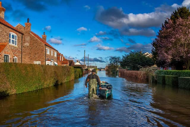
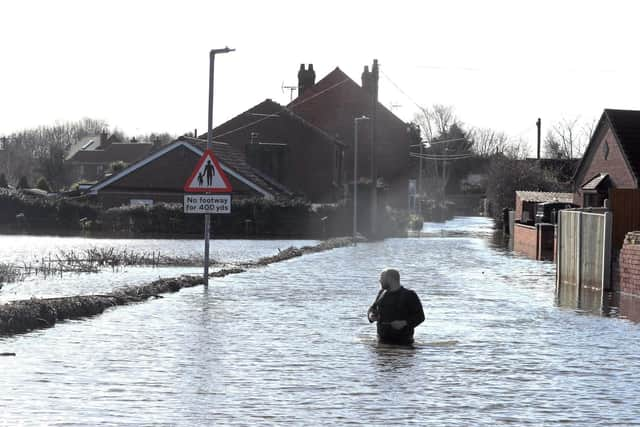
Nearly 90 homes were inundated after the River Aire spilled out of its normal washlands in February in what was a 1 in 100 or 1 in 200 year event. Businesses were also affected, and some roads and the railway line through Snaith was also closed.
A draft report by East Riding Council says the "the wettest February on record" was the principal reason for homes flooding, despite the "good level of protection" given by the river embankments and extensive washlands.
Advertisement
Hide AdAdvertisement
Hide AdSome residents felt the installation of extra flood defences in Leeds, including the movable weirs at Crown Point and Knostrop, had simply moved the problem further downstream.

However the report states that "there is no clear evidence" that the operation of the Leeds Flood Alleviation Scheme (FAS) played a part.
Officers will examine a new hydraulic model from the Environment Agency in more detail “to examine the effects of operating the Leeds FAS”, when it is available.
Nine recommendations in the report, which will be discussed by the council’s Cabinet next week, include improving flood protection for properties in George Street, Snaith as well as businesses north of the railway line.
Advertisement
Hide AdAdvertisement
Hide AdBefore producing a final report, the council will also look at issues including silt build-up in the river, trees on the river banks and what impact they have on flows and whether culverts under the railway line are restricting flows.
Other issues flagged up in the report include the fact that the Local Resilience Forum and the council, as the lead flood authority were unaware of how the Ings should work.
It adds: "Off site plan flow maps should have been made available."
The final report will be published when continuing modelling work and analysis has been completed.
Advertisement
Hide AdAdvertisement
Hide AdAt the same time of the flooding of East Cowick and Snaith, around 27 properties at Hirst Courtney, on the north bank of the river Aire also flooded.
However this is the subject of a separate report by North Yorkshire County Council.
Comment Guidelines
National World encourages reader discussion on our stories. User feedback, insights and back-and-forth exchanges add a rich layer of context to reporting. Please review our Community Guidelines before commenting.