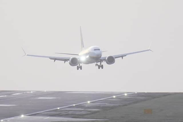
Leeds Bradford Airport: Flights not landing at LBA due to snowfall including inbound from Amsterdam, Alicante and Faro
Inbound flights from Amsterdam, Alicante and Faro have all had to divert in the last 90 minutes.
Amsterdam flight has been diverted to Manchester, Faro to the East Midlands and Alicante to Birmingham.
Advertisement
Hide AdAdvertisement
Hide AdThere are still more than 10 flights due to land at Leeds Bradford Airport on Thursday but it is not yet known if they will be diverted.

Dozens of schools have closed in northern England and north Wales and travel disruption is expected throughout the day.
Up to 25cm of snow is forecast in parts of England and Wales on Thursday as amber weather warnings have been issued for Wales and across the Pennines.
A mixture of yellow rain and snow warnings are in force across the four nations.
Advertisement
Hide AdAdvertisement
Hide AdMet Office spokesman Oli Claydon said that overnight temperatures had reached a low of -18.8C in Altnaharra, in the Scottish Highlands, while in Plymouth temperatures were at a high of 11.9C.
He told the PA news agency: “This demonstrates the different air masses, hence the rain warning in the south while the colder air in the north leads to the risk of snow.”
The amber warning across the Peak District and south Pennines is in place from noon until 6pm on Thursday, with up to 25cm of snow forecast across high ground and 15cm of snow expected “quite widely”.
A separate amber warning for snow and ice will be in place between 8am and 3pm on Thursday across north Wales and north-west Shropshire, with 20-25cm of snow forecast in areas above 200 metres.
The Met Office said strong and gusty easterly winds may lead to “some drifting in places”.
Updates to follow.
Comment Guidelines
National World encourages reader discussion on our stories. User feedback, insights and back-and-forth exchanges add a rich layer of context to reporting. Please review our Community Guidelines before commenting.