Settle to Carlisle Railway: Work set to start on scheme to prevent landslips and closures

The Yorkshire Dales National Park Authority’s planning committee has agreed to delegate a decision over Network Rail’s planned stabilisation works at Cowgill, in Dentdale, to planning officers, subject to the agreement over finalised plans by local landowners.
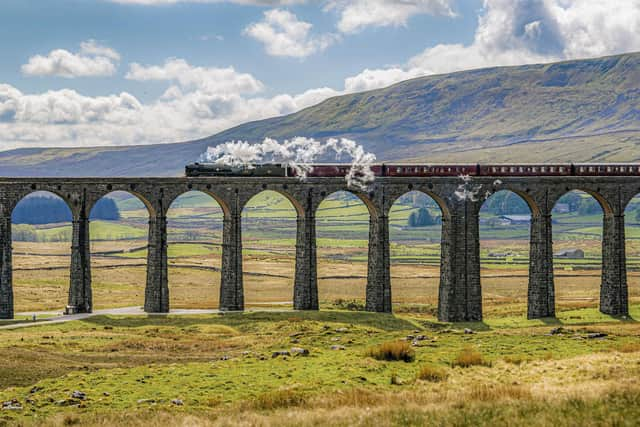
The meeting was told Network Rail intends to start the project, close to the 350m altitude Dent Station, next week. Works are set to take about 15 months to complete.
Advertisement
Hide AdAdvertisement
Hide AdWhile no representative of the railway infrastructure firm attended the meeting at the authority’s Wensleydale base, planning documents submitted by Network Rail stated there had been “a history of failures within the earthworks across the site”, beside the River Dee.

The latest landslip, following heavy rain in 2019 and contributed to by the poor condition of a drainage ditch, saw an estimated 150 tonnes of material slip on to the tracks, resulting in a temporary closure of the line, affecting Leeds to Carlisle services.
A Network Rail spokesman said: “A number of indicators of slope instability have been observed on the site including; exposed mudstone on the cutting surface, washout material in the cess (on track), and where rock outcropwas present there were loose blocks on the cutting slope and failed material in the cess.”
“The works are required in order to ensure the appropriate and safe function of this section of railway, ensuring operational resilience. There will therefore be significant public benefit by virtue of preserving the reliability of this important transport link.”
Advertisement
Hide AdAdvertisement
Hide AdThe proposed works include the installation of a new ‘crest ditch’, designed to capture any surface water and take it to an outfall at Artengill Beck to the north. Such is the scale of the proposed project that it includes the construction of a 75m-long compound in the valley bottom to house staff welfare units, generators and storage areas for machinery and equipment.
Network Rail has also proposed to build a temporary 400m-long haul road that would zig-zag up the slope in order to reduce the gradient.
Scott Thornley, of Dent Parish Council, said while the authority recognised the importance of the work on the railway, which was “vital” for Dent, it had not been properly consulted by Network Rail and there had been confusion over what the proposals included.
Mr Thornley said the parish council had worked closely with the highway authority to mitigate local flooding, but “no consideration” had been given to the risk of flooding caused by increased volumes of water in Arten Gill Beck, despite Network Rail having been alerted to the concerns two years ago.
Advertisement
Hide AdAdvertisement
Hide AdThe meeting was told Dentdale residents feared new ditch would accelerate the amount of water discharging into the beck, leading to an increased riskof flash flooding.
However, the local flood authority and the Environment Agency have raised no objections over Network Rail’s assessment of flood risk and In order to slow the speed of water being discharged the ditch would be fitted with baffles.
The meeting heard Network Rail had not provided final plans which park authority members could consider, before planning officers said details of planning applications were often agreed with developers after being given consent.