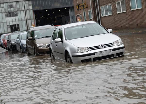
Warning of ‘significant’ flooding in Yorkshire this weekend


North and West Yorkshire are the areas most at risk from significant river and localised surface water flooding.
A month’s rain could fall on localised high ground on Saturday evening and Sunday morning, following days of wet and windy weather, the agency said.
Advertisement
Hide AdAdvertisement
Hide AdFlood alerts are already in place for the River Swale and River Ouse.
Craig Woolhouse, the Environment Agency’s director of incident management, said: “River levels across northern England are already high and are expected to rise with this further heavy rainfall, bringing with them a significant risk of flooding.
“We are working closely with the emergency services and partners to prepare ahead of the weekend.
“Our teams are already in action clearing watercourses, maintaining existing defences and standing ready to deploy temporary pumps and defences where these can be effective.”
Advertisement
Hide AdAdvertisement
Hide AdTwo 24ft (7.3m) long, high-volume water pumps have been dispatched to Cumbria, which are capable of pumping 120,000 cubic litres of flood water a minute, the equivalent of more than 30 Wembley Stadiums.
The Environment Agency is also urging people to check for flood risks, and not to drive through flood water, warning that 1ft (30cm) of water is enough to move a car.
There are currently two flood warnings in place - at Keswick Campsite in Cumbria, and at Aberystwyth in West Wales - and 23 flood alerts, where flooding is possible, with the EA saying it will issue flood warnings where necessary.
The Met Office has issued a yellow “be aware” weather warning centred on North Wales, north west England and south west Scotland over the weekend as a slow-moving front brings heavy and persistent rain.
Advertisement
Hide AdAdvertisement
Hide AdMany areas covered by the warning are likely to see 2.8-3.9in (70-100mm) of rain, while some more exposed parts of North Wales and north west England could see as much as 5.9-7.9in (150-200mm).
Such heavy rain on already saturated ground is likely to lead to flooding from standing water or from rivers bursting their banks, the Met Office warns.
The outlook remains unsettled into next week.
Max Holdstock, of the AA, said the amount of rain forecast over a relatively short period could lead to a risk of travel disruption across low-lying areas, and potentially some serious flooding.
“Drains - sometimes blocked with autumn leaf-fall - struggle to cope, so standing water and reduced visibility will create challenging driving conditions.
Advertisement
Hide AdAdvertisement
Hide Ad“Keep your speed down and take extra care when it gets dark; and, if the road ahead is flooded, don’t chance it - just turn round and find an alternative route,” he urged.
RAC spokesman Simon Williams said: “Modern cars have improved incredibly, but they are still far from waterproof and driving through water that is too deep can have catastrophic results for both cars and lives.
“Any driver thinking of going through floodwater needs to be absolutely confident that it is shallow enough to make it through without stopping and water being sucked into the engine.”