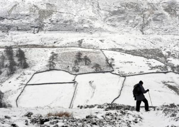
Spring starts today; snow hits us tomorrow - and it’s a white weekend


The arrival of around 8cm of snow from tomorrow night is likely to affect most of England, Scotland and Wales, with only the southern coastal counties and parts of Lincolnshire and East Anglia expected to be spared.
It will be accompanied by strong winds of up to 50mph in central England, 60mph in Wales and 65 mph in Scotland.
Advertisement
Hide AdAdvertisement
Hide AdTogether with low temperatures hovering around four degrees, it continues a miserable March.
Before the onslaught of snow tomorrow, the south-west of England and Wales will today endure flooding caused by heavy and persistent rain.
The band of rain will turn to light snow when it reaches northern Wales and northern England on Thursday night and hit Scotland by Friday morning.
Sally Webb, weather forecaster for MeteoGroup, the weather division of the Press Association, said the outlook for the next few days looks bleak. She said: “Firstly today there will be some very heavy and persistent rain, possibly more than 30mm, which will cause some localised flooding in the south west and Wales.
Advertisement
Hide AdAdvertisement
Hide Ad“As it moves north-eastwards it will turn to snow across the north Wales and England tonight which will all see accumulations of around 3cms.
“It will arrive in Scotland by dawn tomorrow which could see up to 8cms in high grounds. Elsewhere, Britain will see scattered snow, sleet and rain but nothing significant until Friday night.
“Between one and four cms will fall quite widely across England, Wales and Scotland. More snow across Saturday and Sunday will see up to a further 8cms.”