The UK isn’t even in the clear from Storm Isha – that downed trees, blew off roofs and even overturned a lorry – and Storm Jocelyn is moving in.
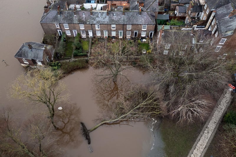
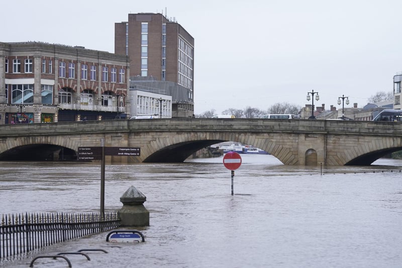
York has been left flooded in today (Jan 23) and around the city due to heavy rain causing rising river levels.
At 11 am the River Ouse level at the Viking Recorder was 3.74m and rising – the top of the river’s normal range is 2.9m.
The Met Office cautions that winds reaching 30mph are anticipated throughout the day, escalating to 50mph tonight and persisting at a robust level tomorrow (Jan 24), due Storm Jocelyn which moves in today (Jan 23).
Three flood warnings remain in place for York as River levels are rising on the river Ouse due to heavy rainfall associated with the storm.
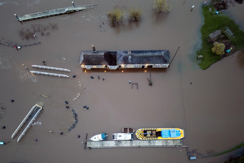
Flooding is forecast to affect locations near the River Ouse, with low-lying land expected to be most affected, particularly around Naburn Lock Buildings and Lock Cottages.
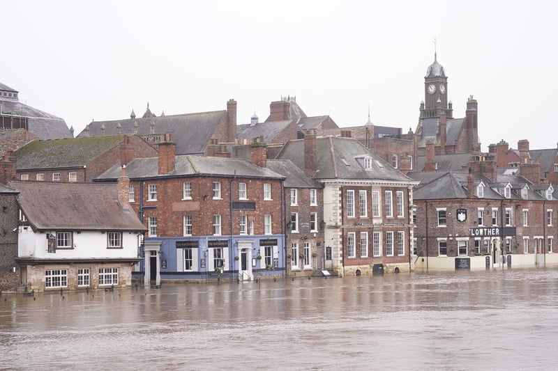
Flooding is also properties on King's Staith in York and riverside areas through York from Lendal Bridge to Millennium Bridge – as well as properties on King's Staith in York and riverside areas through York from Lendal Bridge to Millennium Bridge.
Storm Jocelyn will be the tenth named storm in five months and only the second time in a UK storm season that the letter J has been reached in the alphabet.
Storm seasons run from the start of September to the end of the following August.
The first time the letter J was reached was in March 2016, with Storm Jake.

1. Fallen tree in flood water
A fallen tree in flood water in York as Storm Isha thrashed down, preparing to make way for Storm Jocelyn. Photo: Danny Lawson/PA Wire Photo: Danny Lawson

2. Flooding in York
Storm Isha left two people dead and one seriously injured and now Storm Jocelyn is set to cause more flooding. Picture: Danny Lawson/PA Wire Photo: Danny Lawson

3. Storm Isha has caused flooding in York
Storm Isha has caused flooding in and around York with more wind and rain expected. Picture: Danny Lawson/PA Wire Photo: Danny Lawson

4. Flood water at Naburn
Flood water at Naburn Lock on the outskirts of York due to Storm Isha. Picture: Danny Lawson/PA Wire Photo: Danny Lawson
