Video: This battering was just the calm before the storm - now here comes the snow


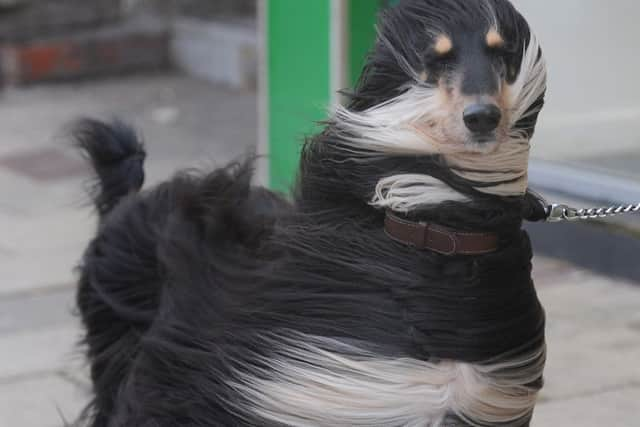
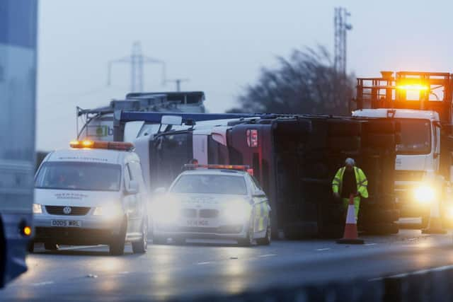
Foecasters said winds of up to 70mph could be expected in the region’s more hilly areas as the effects of Friday’s hurricane-force winds in Scotland were still being felt. There, engineers had the mammoth task of reconnecting more than 100,000 properties left without power as high winds battered the country, bringing major disruption to the transport network.
The strongest winds recorded in England today were at High Bradfield, in South Yorkshire, which saw a gust of 76mph at 1am.
Advertisement
Hide AdAdvertisement
Hide AdScotRail suspended all services for safety reasons after gusts of up to 113mph, while ferry services were subject to cancellations and several major roads and bridges were closed.
Two men were reported lost at sea after getting into trouble in the water off the coast of Brighton in “severe weather” in the early hours of this morning.
Lifeboats and helicopters have been searching for the pair throughout the night, but have not found them.
The mercury is set to plunge today as sleet and snow hit large swathes of Britain.
Advertisement
Hide AdAdvertisement
Hide AdMet Office forecaster Alex Burkill said: “As we go through Saturday morning a band of squally rain will move south eastwards and that’s going to bring brighter but much colder conditions behind it.
“Some showers are likely to be heavy and may well fall as sleet or snow, particularly in Scotland, Northern Ireland and the north of England and some of the showers could bring significant accumulations, particularly over higher ground.
“We could widely see 2cm to 4cm (up to 1.5ins) of snow, and perhaps 8cm (just over 3ins) on the highest ground.
“That could cause major disruption to travel so there are yellow warnings in place for affected areas.
Advertisement
Hide AdAdvertisement
Hide Ad“As it moves south it will leave colder conditions so after a mild night temperatures will really tumble to 4 or 5C (39.2F-41F).”
In the region, roads around Yorkshire’s tallest building, Bridgewater Place in Leeds, were closed to traffic during both the morning and afternoon rush hours yesterday, and expect to remain closed until around 11am on Saturday, Leeds Council said.
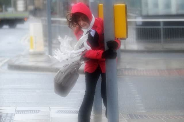
Office workers were swept off their feet as they struggled against the force of gales around the 32-storey building. Gusts of wind around it were blamed by a coroner for blowing over a lorry that crushed and killed Dr Edward Slaney in 2011.
One of the main shopping streets in York was closed to pedestrians while the fire service and police secured a roof-top barrier that had been damaged by the wind.
Advertisement
Hide AdAdvertisement
Hide AdA North Yorkshire Police spokesman said Coney Street was cordoned off while the barrier on the roof of a Next store was made safe. York Council closed the Shambles Market in Parliament Street owing to “severe wind today and safety concerns”.
Elsewhere, the Ouse Bridge, on the M62 at Goole, East Yorkshire, and the Humber Bridge were both closed to high-sided vehicles.
And the disruption is not over.
Matthew Martin, a meteorologist at MeteoGroup, said winds would peak on Saturday at around 9am with gusts of around 60mph inland, and up to 70mph in the hills, with it getting “notably colder” but brighter as the day goes on. Yorkshire and the Humber could also expect a dusting of snow in some areas in the evening, he said. On Sunday, the region can expect wintery flurries, gusts of up to 50mph and showers into the evening.
More snow could be on the way on Tuesday, while forecasters are “keeping a close eye on an area” of low pressure heading our way on Wednesday evening which could bring stormy weather.
The Met Office has issued yellow ‘be aware’ warnings for rain, wind, snow and ice today.