Yorkshire weather: December temperature could be one of the mildest on record - but severe New Year snow unlikely
Andy Vis runs 34 weather stations situated at locations across the Dales and North York Moors - including Greenhow, the highest village in Yorkshire, and Amanda Owen's Ravenseat Farm in Swaledale.
On the morning of December 30, the HGV driver had already recorded a temperature of 13 degrees in Malton, which he expects to rise further as the day progresses.
Advertisement
Hide AdAdvertisement
Hide Ad

Yet he is unconvinced by forecasts suggesting Yorkshire could see heavy snow in the first week of January, adding that many prediction models 'disagree' on the likelihood of a cold snap.
"It's been a mild start to the winter so far, but nothing excessive - around one degree above the 30-year mean, which is between 3-4 degrees in December. But it's 13 degrees in Malton today, and I've never recorded higher than 12 in December since I started setting up my stations in 2016."
Storm Arwen, however, brought some stunning readings when it hit the Dales in late November.
"There is an amateur radio station near Settle that recorded a wind gust of 110mph, which is the highest I've ever seen in North Yorkshire. At Wether Fell in Hawes there was a 90mph gust, but generally we escaped the worst of the storm and areas like Teesside and Northumberland were harder hit. Paul Hudson from BBC Look North actually messaged me for my readings, as none of the Met Office weather stations had recorded any high gusts.
Advertisement
Hide AdAdvertisement
Hide Ad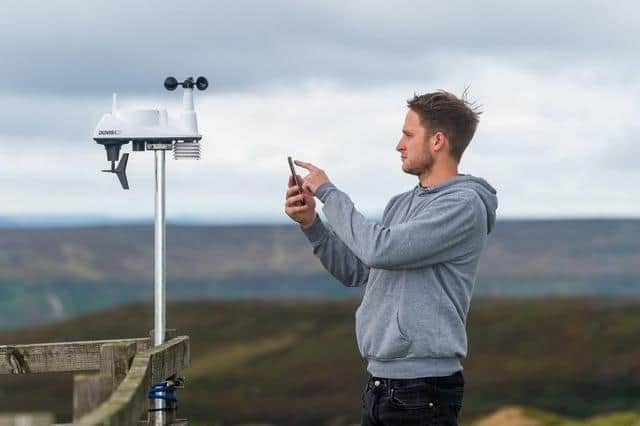
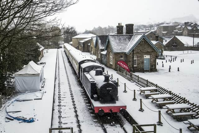
"We also got some incredible amounts of snow at the end of November in places like Swaledale, Keld, Muker - nothing in the winter so far has come close. It was unique for it to happen so early on, but in December we haven't had much at all."
Mr Vis has described next week's predicted cold snap as 'blink and you'll miss it' and believes it could last as little as 24 hours.
"It sounds like a bogstandard northerly, and you'll notice a drop in temperature compared to this week, but nothing unusual. It could be a 24-48-hour cold snap as the wind swings, and there may be some wintery showers on the coast and in the Wolds, but there's a disagreement between forecast models.
"There could be snow showers on high ground but it will be around six degrees everywhere else, so nothing significant.
"But today it could hit 15 degrees - it feels very strange out there!"