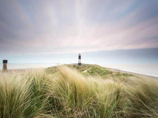
Yorkshire weather forecast: This is when strong winds will hit Yorkshire


What will the weather be like today in Yorkshire?
Thursday will be see a dry start with sunny spells. Thicker cloud will then spread east, with strong blustery winds developing. Outbreaks of rain and drizzle are expected during the afternoon, which will be heaviest across western hills. Maximum temperature of 20C.
What will the weather be like tomorrow in Yorkshire?


The Met Office explains that Friday will be “Dry with plenty of sunshine, and feeling warm. Chilly overnight, with mist and fog patches, and a slight frost possible in prone spots. Likely turning breezier Saturday and Sunday.”
What is the long-term forecast for Yorkshire?
Advertisement
Hide AdAdvertisement
Hide AdThe Met Office UK outlook for Sunday 15 September to Tuesday 24 September said: “The middle of September is likely to be widely settled and dry with light winds and plenty of sunshine, especially in the south of the UK.
“There will be a greater chance for windier conditions, some rain and a few showers in the north, particularly for northern Scotland.
“Temperatures are expected to be near average by day, although warm in the southeast at first, and cool by night with air frosts likely in prone locations.”