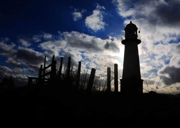
Lighthouse helped brighten place labelled Britain’s dullest spot


Standing on the River Ouse, the lighthouse was a vital touchstone for vessels going to and from Goole and onwards to the North Sea. The whole of the waterway is lined with marker lights, but Whitgift is the only full-sized traditional lighthouse on the Ouse and Trent section.
Ousefleet may be home to a lighthouse, but it has another, less edifying claim to fame. A few years ago, Ordnance Survey identified it – or rather one specific field – as the dullest place in the whole of Britain.
Advertisement
Hide AdAdvertisement
Hide AdIt wasn’t meant to be a slight, just an observation. Cartographers had studied the squares on all 204 of the organisation’s Landranger maps and even the most remotest spots seemed to have something of note.
From the fens of East Anglia to the wilds of Scotland, each square was broken by a stream or at the very least a small bridleway. Not Ousefleet.
It turned out SE830220 on Landranger map 112 was as near as anyone could find to a completely blank square. In fact the only things to mar an otherwise completely blank canvas was an electricity pylon and some overhanging cable.
The search for Britain’s most boring place had been triggered by a listener to Radio 4’s Home Truths show and an OS spokesman said that the square of farmland had been identified after a lengthy trawl of all its maps. Ironically, the couple who owned the field suspected the research might in fact turn the area into an attraction in its own right with map enthusiasts encouraged to seek out the spot dubbed the most featureless place in Britain. Technical details: Nikon D3s, 28-70mm lens, 2500th @f20 250 ISO
Picture: Tony Johnson
Words: Sarah Freeman