Ana Cross and the medieval route on the North York Moors near Rosedale Abbey
A whiff of spring is in the air and soon there will be even more incentive to stride out on the North York Moors.
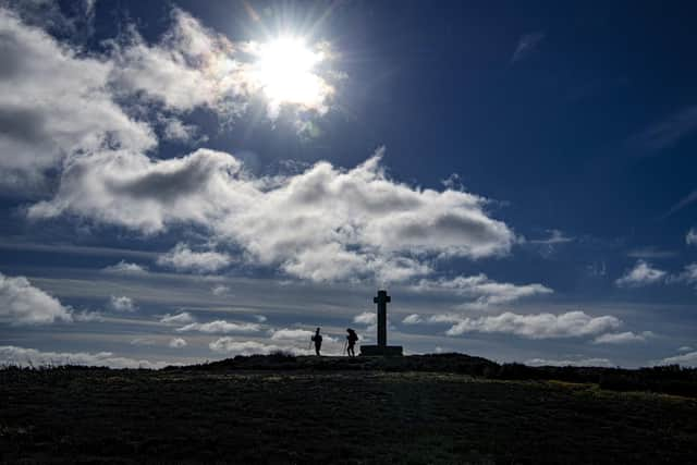
The National Park is home to numerous landmarks, of course, with Ana Cross – seen here standing in the spectacular landscape – one among them for ramblers to enjoy.
Advertisement
Hide AdAdvertisement
Hide AdThe monument includes buried and earthwork remains of a prehistoric burial mound, topped by a modern replacement of a medieval wayside cross at the top of Rosedale Chimney Bank, says Historic England.
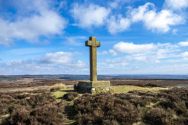

The Grade II listed cross marks a medieval route across the moor between Lastingham and the site of Rosedale Priory: a deeply incised hollow way skirts the western side of the barrow, heading towards the village of Rosedale Abbey.
The current cross, which at one time was known as Ain or One Howe Cross, but now more generally as Ana Cross, dates to 1949 when the original medieval cross was moved to the crypt of Lastingham Church.
It was repaired in the summer of 1998 after its collapse in the winter of 1995.
Advertisement
Hide AdAdvertisement
Hide AdAna Cross is also less than a mile from Bank Top kilns, a part of the Chimney Bank area that was the first part of Rosedale to experience an explosion of modern ironstone mining, according to the National Park.
The kilns were built to refine ironstone through a process called ‘calcining’ – burning the ore with coal to reduce its weight by up to half and remove impurities – which made for more efficient transport costs in getting the ore to where it would be smelted into iron in Durham and later Teesside.
Conservation work has been carried out to preserve the kilns in their current state and prevent further deterioration.
Some 16 or more miles north-west, however, is Urra Moor, the National Park’s highest point at 454 metres.
Advertisement
Hide AdAdvertisement
Hide AdThe North York Moors became a National Park on November 28, 1952, and is one of 15 in the UK.
It covers an area of 554 square miles and has 26 miles of coastline.
There are also 1,408 miles of Public Rights of Way in the National Park area, which also boasts one of the largest expanses of heather moorland in England and Wales.