
Stunning photo shows Upper Wensleydale's historic sheep farming landscape
The upper reaches of Wensleydale’s distinctive broad, open U-shaped valley has been a sheep farming centre for centuries.
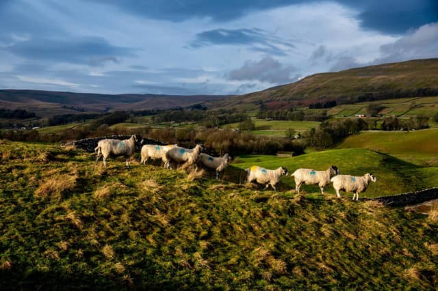

Flocks have used glacial features such as drift tails, moraines and drumlins which form the rolling, undulating valley floor for much-needed shelter in the open and exposed Yoredale landscape near Hawes.
As the glaciers retreated, deposits were left as rounded drumlins and drift tails at the junctions of the several tributary valleys in the area, leaving a generous strip of the valley between Cotter Force and Aysgarth with numerous glacial features.
Drumlins are oval-shaped hills, largely composed of glacial drift, and are particularly pronounced to a few miles downstream of the River Ure, between Bainbridge and Aysgarth, while drift tails are concentrated in mid-Wensleydale.
Fields in Upper Wensleydale are defined by drystone walls and traditional barns, which highlight the undulating topography, alongside scattered copses.