Weekend Walk: Three Humber Villages


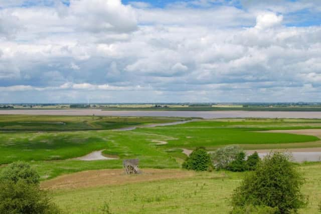
It is well worth making the effort to reach, and easily accessible from East Yorkshire via the Humber Bridge and from South Yorkshire by the M18 and M180. The Humber Estuary drains around one third of England and is one of the UK’s most important shipping conduits. The route provides fine views of the Humber’s starting point at the confluence of the Ouse and Trent. Of special interest is a wetland known as Alkborough Flats. Now a nature reserve, it was created by the Environment Agency in 2006 when flood defences were breached to create flood storage at times of high rainfall. The path along the Humber between Whitton and Winteringham is another highlight. At Alkborough Flats look out for marsh harrier, barn owl, bar-tailed godwit. In summer avocets can turn up anywhere on this part of the Humber.
1. Starting from St. John the Baptist Church, Alkborough, walk northwards on Whitton Road. Immediately past the school turn left into Sandpit Lane. On a bend take signposted footpath on the right along a field edge. Follow it down a wooded embankment and bear right to go up the other side and maintain a straight line along the sides of more fields and some woodland, enjoying splendid views over the Humber and Alkborough Flats.
Advertisement
Hide AdAdvertisement
Hide Ad2. The path emerges in the village of Whitton. Through a gate cross the road and bear left to walk between the village hall and church to descend Church Hill. At the end of the road turn left then quickly right to take a path along the top of the flood defence embankment. A shorter route across fields shown on OS maps is impassable. Follow the embankment to arrive at the Humber Yawl Club beside Winteringham Haven.
3. Turn right to follow the access road, then left to cross a bridge, and right again to approach the village of Winteringham. At the top of Low Burgage turn right to walk past The Bay Horse Inn and follow West End. Pass a whitewashed house on the left to join a track.
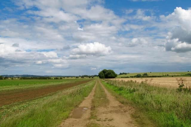
4. Continue over a stile and follow the right of way along the track, crossing another stile next to a cattle grid. Follow the rough track along the bottom of a field, bearing right at a mound, then left to follow a field drain. Cross a footbridge and go left . Further on go briefly right then left to continue a straight course to reach a tarmac road.
5. Turn left and walk along the road for a short distance and turn right onto an unsignposed path along a field edge. At the end pass through a hedge gap and turn left for a short distance to find a right turn across a field. In summer the right of way is a narrow strip through a grain crop. At the other side of the field follow yellow waymark arrows right then quickly left to join a track which leads back to Alkborough.
Difficulty Rating: 3 star
Time: 4 hours
Distance: 9 1/2 miles
Maps: OS Explorer (1:25000) Sheet 281, Ancholme Valley.
Parking: Responsible street parking, Alkborough.
Advertisement
Hide AdAdvertisement
Hide AdPublic transport: Alkborough is on the 60 bus route from Scunthorpe to Whitton operated by Hornsbys. Tel. 01724 282255 for times. Scunthorpe is served by Doncaster-Cleethorpes trains. Phone Traveline on 0871 2002233 (charges apply).
Refreshments: Alkborough, Winteringham.
Toilets: Winteringham, and for refreshment customers.