Weekend Walk: Tinkers Lane


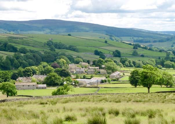
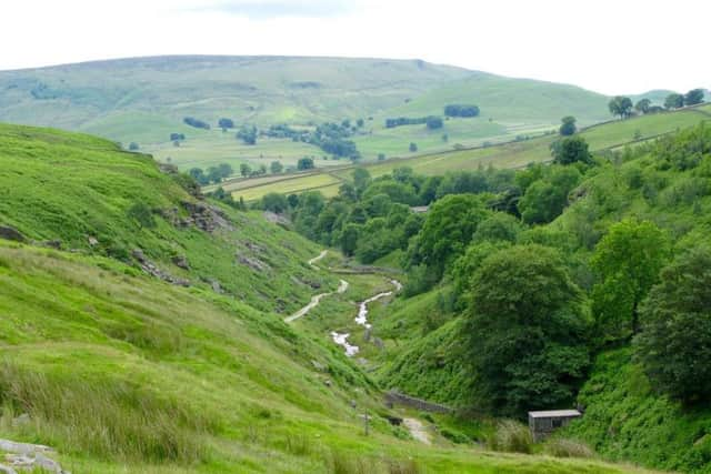
Tinkers’ Lane is a walled green road that’s surprisingly wide in places, and makes this leg of the route easy to follow. Further on there is much industrial archaeology to see on the banks of Hebden Beck, where lead mines were opened in the 19th century but went into decline in the 1860s. Mossy Moor Reservoir, seen along the route, was built to serve the mines. A Bronze Age stone circle is passed near Scar Top House. In summer watch out for wheatear and lapwings on higher ground. All year round there are common snipe in marshy areas and kestrels hovering over the steep banks above Hebden Beck.
1. From the main street walk to the B6265 Grassington-Pateley Bridge road. Cross with care, turn left and past a coach garage take a track signposted to Tinkers’ Lane. Soon, go left opposite a barn and follow the path into a field. Head up to a ladder stile, and on the other side follow the wall to turn right through a narrow wall pass. Now aim for the left of two ladder stiles. Once over, follow the wall right to a gate and once through turn left. Cross a stile ahead and turn right to follow wheel treads. Fork right onto the track that is Tinkers’ Lane.
Advertisement
Hide AdAdvertisement
Hide Ad2. Continue past the farm at High Garnshaw. The lane is easy to follow. At a wall ahead go through a gate and follow a wall along a field edge to another enclosed track. Through another gate walk downhill on a clear route which turns right to reach Hebden Beck.


3.Turn right to follow the beck to stepping stones and cross to climb the opposite bank. Go left for a short distance then right to find a rising path to the side of Bolton Gill. Take a sharp right turn on a path through bracken which curves round the edge of the hill. The path eventually proceeds on a straight course southwards above Hebden Beck. Pass through several gates and follow a wall. Look for Mossy Moor Reservoir on the left. Keep following the wall, and over on the left opposite Scar Top House look for circle of eight stones in heather.
4. At Scar Top House follow the access track but go right before the yard. The path drops steeply towards Hebden Gill then swings left to follow it to a footbridge. Cross to the other side and walk up to join the road which links Hebden with Hole Bottom. Turn left and follow it back to the B6265.
Difficulty rating: 2 stars
Distance: 4 miles


Time: 2 hours
Map: OS Explorer (1:25000) sheet OL2 Yorkshire Dales Southern & Western areas
Toilets: Hebden, Grassington
Parking: Responsible street parking, Hebden
Advertisement
Hide AdAdvertisement
Hide AdPublic transport: Hebden is served by the limited No 75 bus from Grassington Mon, Wed & Fri; also 812 service on summer Sundays & bank hols. Grassington is served by 72 bus from Skipton, 74 from Ilkley. For details visit www.dalesbus.org
Refreshments: Hebden, Grassington