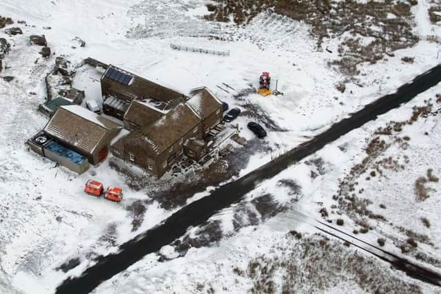
Forecast: How much snow to expect in Yorkshire this weekend


Saturday will see wintry showers over the Pennines, but the region looks set to escape the worst of the conditions.
However, heavy rain will arrive on Sunday as the weather turns milder.
Advertisement
Hide AdAdvertisement
Hide AdThere are multiple flood warnings in place along the east coast, especially around Scarborough and Bridlington, and along the Humber estuary, inland as far as Goole.
Friday
Starting cloudy with sleet or snow showers, especially near the coast. During the morning conditions will improve with sunny periods developing as the snow showers clear southwards. However, it will remain cold and windy with coastal gales.
Friday night
Most parts dry and clear, though an isolated shower may affect the coast. Winds tending to ease inland but still breezy near the coast. Feeling bitterly cold. Sharp frost inland.
Saturday
A bright and cold day for most and less windy than Friday. After dusk cloud may increase from the west possibly leading to some late wintry showers over the Pennines.
Outlook for Sunday to Tuesday
A change to milder conditions is expected, but generally cloudy with some heavy rain possible on Sunday, but drier with brighter periods on Monday and Tuesday.