Met Office issues snow warning for Yorkshire and Humber


Yesterday a yellow weather warning for wind was in place across Yorkshire and the Humber, with gusts of up to 75mph causing havoc on the road and rail networks.
Emergency services were inundated with wind-related calls, ranging from a tree crashing through the roof of a bungalow to a trampoline smashing into a conservatory.
Advertisement
Hide AdAdvertisement
Hide AdAnd Northern Powergrid engineers had the task of restoring power to more than 30,000 homes and businesses across Yorkshire and the North East.
Although there are no warnings for the region in place today, the Met Office has issued yellow weather warnings for snow tomorrow (Friday) and Saturday.
Its chief forecaster said: "A cold north to northwesterly airstream will keep the risk of wintry weather going through Friday.
"Some inland areas, sheltered from the northwesterly wind, seem likely to escape most of the showers."
Advertisement
Hide AdAdvertisement
Hide AdThe warning advised showers of snow, sleet and hail will fall across parts of the UK.
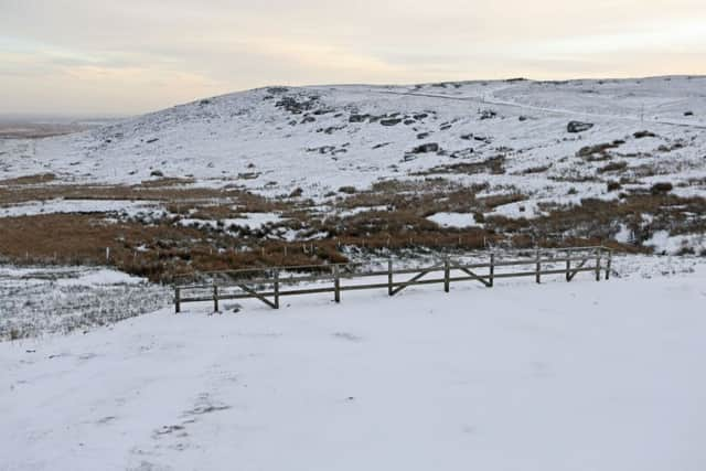
Snowfall of between two and four centimetres may affect some lowland areas, while high ground may see five to 10 centimetres.
It said disruption to transport networks seems likely either due to snow or ice, and northwesterly gales and large waves will affect some eastern coastal areas, perhaps leading to local over-topping.