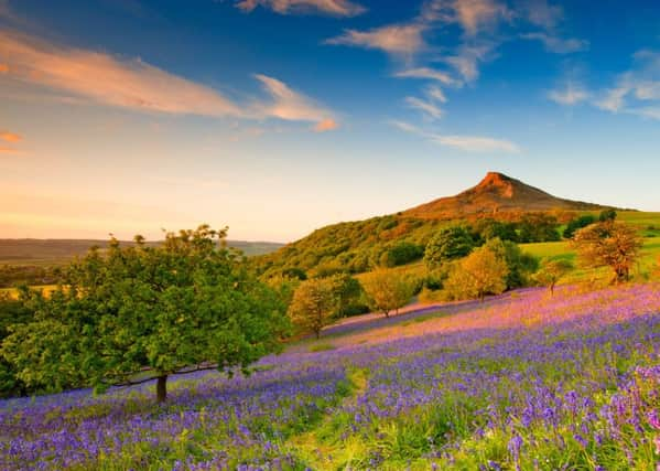
Moorland rescue operations just got quicker


Access for emergency 4x4 rescue vehicles has been opened up on the moors that stretch out beyond Roseberry Topping in the northern area of the North York Moors National Park, thanks to a refurbished bridleway funded by the local council and new gates donated by the North York Moors National Park Authority.
The Cleveland Mountain Rescue Team, which is celebrating its 50th year, is called out to more than 40 incidents every year - from trips and falls to life-threatening events.
Advertisement
Hide AdAdvertisement
Hide AdThe area around Roseberry Topping and the neighbouring Guisborough Forest are call-out ‘hot spots’ averaging around one incident every month for the mountain rescue team.
Until now, the Cleveland team have accessed these areas using a farm track to the south of Roseberry Topping or by entering the forest at Hutton village, but they could not drive between the two without a lengthy detour.
Mountain rescue team member, Martin Codd, said: “Sometimes we don’t have a precise location for a casualty or on busy days, could receive consecutive call-outs in these two areas. Having to retrace our steps and go a long way round on public roads through Great Ayton, Newton under Roseberry and Guisborough wastes time and means a significant delay in getting to the casualty. Time is of the essence in these situations and can mean the difference between life and death.”
Permission for the new direct route was given by landowners including the Forestry Commission and National Trust.