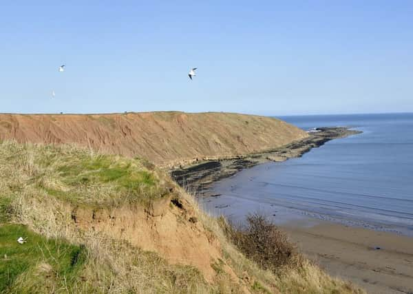
New walking route to connect some of Yorkshire's best coastal spots


The trail, which will connect Filey Brigg with Middlesbrough’s Newport Bridge when works are complete, is the longest single section of coastal path ever to be approved by the Government.
It will allow walkers to follow a path that will stretch around the coast of North-East, along the edge of the North York Moors National Park through Scarborough, Robin Hood’s Bay and Whitby, before ending at Middlesbrough’s iconic bridge across the River Tees.
Advertisement
Hide AdAdvertisement
Hide AdRural Affairs Minister Rory Stewart said he hoped the new route, approved yesterday by Environment Secretary Liz Truss, will help to boost tourism.
“North Yorkshire features breath-taking scenery, wild, windswept clifftop walks and vast expanses of sandy shore, incredible places for residents and visitors,” he said.
Along the new path walkers will be able to enjoy historic sites including the gothic ruins of Whitby Abbey, a stroll to the end of Yorkshire’s only Victorian pier in Saltburn, and picturesque harbour views in the village of Staithes, home of the explorer Captain Cook.
Plans have also been approved to alter a route at Dunball Wharf and St Audries Bay, part of the Somerset coastal path, so that walkers can avoid the need for a descent from the clifftop to the beach.
Advertisement
Hide AdAdvertisement
Hide AdIn December, the half-way point was reached in government plans to complete a path around the whole of the English coast.
Set for completion in 2020, the England Coast Path will cover a total of 2,700 miles.