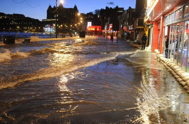
Coastal flooding risk ‘three times higher if emissions don’t fall’


Scientists behind the new study say that as sea levels rise and tides are pushed higher over the next three decades, land that is currently home to 300m people will flood at least once a year – unless carbon emissions are cut significantly and coastal defences strengthened.
The report identifies parts of Yorkshire, and in particular the Humber coast and estuary, as a threatened area, with towns as far inland as Selby and Doncaster at risk from swollen rivers.
Advertisement
Hide AdAdvertisement
Hide AdGlobally, the authors say that without rapid cuts in emissions, the sea would entirely submerge land that is not currently considered at risk of flooding.
However, emission cuts could save 50m people from annual flooding, they add.
The study, published in the journal Nature Communications, is based on fresh analysis of satellite data, taking into account features such as treetops and rooftops, which are now thought to have skewed previous figures.
The new statistics do not account for existing coastal defences, which the authors warn will be needed in more volume, and at increasing cost, to protect people and property.
Advertisement
Hide AdAdvertisement
Hide AdDr Benjamin Strauss, chief scientist behind the findings, said the new information could help redraw the flood risk map worldwide.
“For all of the critical research that’s been done on climate change and sea level projections, it turns out that for most of the global coast we didn’t know the height of the ground beneath our feet,” said Dr Strauss, chief executive of the independent research group, Climate Central, based in the Princeton, New Jersey.
He added: “Our data improves the picture, but there is still a great need for governments and aerospace companies to produce and release more accurate elevation data. Lives and livelihoods depend on it.”
The study’s main author, Dr Scott Kulp, said the findings demonstrated “the potential of climate change to reshape cities, economies, coastlines, and entire global regions within our lifetimes”.
Advertisement
Hide AdAdvertisement
Hide AdHe added: “As the tideline rises higher than the ground people call home, nations will increasingly confront questions about whether, how much, and how long coastal defences can protect them.”
A projected map of Britain in 2050, produced by the researchers, shows much of the east coast, from Flamborough down to The Wash, at risk from flooding. The threat is shown to be most acute around the Humber estuary, as far inland as Goole.
Along with parts of Lincolnshire, Cambridgeshire and North Wales, the area is the worst affected in the country.
Belgium, Holland and the German coast around Hamburg are also said to be at risk of flooding at higher levels than at present.