
The flooded Ouse washlands in Yorkshire contain almost as much water as Lake Windermere


The Environment Agency has confirmed how many acres of washland are under water in the River Ouse catchment area.
The washlands are open areas of farmland designated for water storage when the lower part of the Ouse floods in the Selby area.
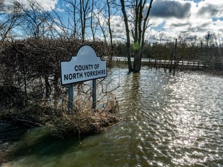
Flood engineers have estimated that there are around 3,000 acres of countryside submerged near the villages of Kelfield, Riccall, Wistow and Cawood.
This means the flood covers an area almost the size of Lake Windermere in the Lake District, which totals 3,640 acres and is England's largest natural lake.
In the lower Aire washlands, around 60 properties in the village of Snaith have flooded and East Cowick is also at risk. The Environment Agency released aerial drone images showing the extent of the waters.
There is also a large amount of standing water near the Wharfe at Tadcaster, which can be seen from the A64.