
Snow and ice in Yorkshire: Yellow weather warnings issued for snow and ice across the region and coastal areas including Leeds, York, Bradford and Whitby

The Met Office has issued yellow weather warnings for snow and ice this week across areas in Yorkshire including Leeds, York and Bradford - here is everything you need to know.
Cold conditions will bring a range of wintry hazards across the country - including parts of Yorkshire - over the next couple of days.
A series of yellow weather warnings for snow and ice have been issued by the Met Office across many parts of the North of England.
These scattered snow showers and icy patches across Yorkshire have the potential to cause disruption to travel in places on Monday into Tuesday morning.
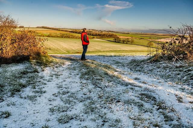

The warnings will be in place from Monday, January 5 to 11am on Tuesday, January 6, 2026.
Met Office meteorologist, Matthew Lehnert, said: “As we begin the first full working week of the year, we face a range of winter weather hazards with snow showers and ice.
“In the north of Scotland, snow showers are expected to become more frequent on Sunday night with some locations within the Amber warning areas seeing a further 20-30 cm accumulate by Monday morning.
“Elsewhere in the UK, snow showers, ice and frost are expected at times but milder air will make attempts to spread eastward from Tuesday.
“This will mean rain becomes more likely in the south, but there is also the possibility of more organised snow along the boundary of the mild and cold airmasses. Strong winds could also be a feature later in the week.”
Whilst not all areas will be affected, scattered snow showers will move inland from the North Sea during Monday, giving some small accumulations in places, the Met Office said.
Where snow showers are most frequent, this most likely across southeast Scotland, parts of North and East Yorkshire and Redcar and Cleveland, fresh accumulations of 5-8cm will be possible in a few areas.
Lightning and gusty winds may be additional hazards, especially near windward coasts.
Snow showers should become more isolated through Monday evening, but a risk of ice will persist through Monday night into Tuesday morning as temperatures fall below freezing.
Areas in Yorkshire affected by snow and ice are Leeds, York, Bradford, Harrogate, Northallerton as well as coastal areas such as Whitby, Scarborough and Bridlington.
Residents and travellers to these areas should expect:
- Some roads and railways likely to be affected with longer journey times by road, bus and train services
- Some injuries from slips and falls on icy surfaces
- Possibly some icy patches on some untreated roads, pavements and cycle paths