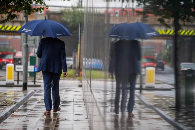
Storm Barra: What areas will be affected by the storm? What is the weather forecast for Yorkshire this week?
It is the second storm named by the Met Office to hit the UK this season, and has led to Yorkshire being issued with a yellow weather warning for Tuesday.
Here is the weather forecast across the week for the region.
Monday


Advertisement
Hide AdAdvertisement
Hide AdThe Met Office predicts a dry but chilly start with rain spreading east of Yorkshire across the area late morning with increasing winds.
It is likely that patchy snow will spread across the Pennines as well as potentially some eastern parts as rain clears to leave sunny spells and blustery showers into the afternoon.
The maximum temperature during the day will be 5C.
Into the evening and overnight, it is expected to be dry and clear, with any remaining showers dying out and temperatures falling to result in a widespread frost and the minimum temperature will be 1C.
Tuesday
The weather is likely to be dry and frosty during the day and becoming very windy into the afternoon, with rain and some hill snow spreading across all parts of the region.
Advertisement
Hide AdAdvertisement
Hide AdIt is set to become drier into the evening but remaining windy with a maximum temperature of 6C.
Outlook for Wednesday to Friday
The wind is likely to ease into Wednesday but will remain unsettled with more showers or ongoing rain and possible snow over high ground.
The weather conditions are expected to become brighter and breezier by Friday.
What is Storm Barra?
The newly named storm will be moving in from the Atlantic on Tuesday and has been named Barra by Met Eireann.
Advertisement
Hide AdAdvertisement
Hide AdAs the storm moves in from the west, its strongest winds are predicted to impact the Republic of Ireland.
However, as the storm starts to weaken, its strong winds and rain will affect Scotland and northern England, including many parts of Yorkshire.
In response, the Met Office has issued a series of yellow weather warnings for wind and snow.
Chief meteorologist at the Met Office, Frank Saunders, said: “Strong winds arriving across the west through Tuesday morning, will spread inland and reach eastern areas through the afternoon and early evening.
Advertisement
Hide AdAdvertisement
Hide Ad“Gusts of 40-50mph are expected widely, with 60-70mph in exposed coastal locations. The strongest winds will ease across inland areas into the overnight period.”
Deputy chief meteorologist, Brent Walker, said: “A band of rain will turn to snow across northern England and Scotland through Tuesday. Two to five centimeters of snow is expected to accumulate quite widely across the warning area, but locally this could reach ten centimeters, particularly in parts of the Southern Uplands and Highlands.
“Strong south-easterly winds will also lead to snow drifting in places, particularly over the highest routes, adding to poor visibilities.”
Comment Guidelines
National World encourages reader discussion on our stories. User feedback, insights and back-and-forth exchanges add a rich layer of context to reporting. Please review our Community Guidelines before commenting.