
Wakefield conservation areas expanded and newly designated across district

Several areas across Wakefield district have been newly designated or extended as conservation areas to protect their historic character.
Wakefield Council has confirmed a series of changes under the Planning (Listed Buildings and Conservation Areas) Act 1990, recognising locations of “special architectural or historic interest”.
New conservation areas have been designated in Castleford and the Felkirk and Hodroyd areas.
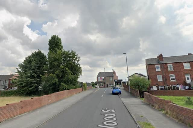

These include streets such as Bank Street and Sagar Street in Castleford, as well as historic buildings, farmland and landscape features around Felkirk and Hodroyd, including the Church of St Peter and parts of a medieval village site.
Existing conservation areas in Horbury, Ossett and central Wakefield (Wood Street area) have also been amended, with boundaries extended to include additional properties, streets and green spaces, while some areas have been removed where they are no longer considered to meet the criteria.
The designation means stricter planning controls will apply, including requirements for permission to demolish buildings, additional publicity for planning applications, and a duty on the council to preserve or enhance the character of the areas.
Residents must also give six weeks’ notice before carrying out works to trees within the designated zones.
Maps and further details of the conservation areas are available via the council’s website or on request.