Peaks and perks of a perfect ride
The route is a significant test of stamina and fitness if undertaken in one go: far better to load up with camping gear and split the ride over two enjoyable days.
If tenting, the Waterloo Inn at Biggin is perfectly situated 60 miles in, just off the Tissington Trail, with hot showers, real ale and pub food, and just £8 per night.
Advertisement
Hide AdAdvertisement
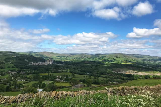
Hide Ad1. From Hathersage train station, head towards Castleton along Jagger’s Lane, join the main road for a short while and turn off at traffic lights on the outskirts of Hope before bearing left along the Water Lane in Bamford. Continue along Carr Lane back to the A6013 to reach traffic lights with the A57, go left towards Snake Pass and in 100 metres turn right onto a forest trail that loops all the way around Ladybower and Howden Reservoirs. Rejoin Snake Road and turn left along the last section of Ladybower to head through Thornhill and on to Hope via Parson’s Lane. Turn left and go right at the traffic lights towards Bradwell for a few hundred metres before turning left on Brough Lane for the longest and most challenging section, a tough climb up to Abney.

2. Turn right in Abney, drop down to the edge of Hucklow and bear left at the sign for Grindlow. Just before Foolow, head right along an overgrown bridleway and make your way to Wardlow, where the route climbs along gravelled lanes and grassy tracks around two quarries to Great Longstone. At the end of the village, join the Monsal Trail for four miles, exiting at Millers Dale to climb towards Blackwell on the B6049. Cross the A6 and head along quiet lanes on the Pennine Bridleway to the A515. Bear right and left on a gravel road that links with High Peak Trail and Tissington Trail.
3. Leave the trail after seven miles and, if camping at Biggin, turn right. If not, bear left and cross the A515 onto a lane that meets with the High Peak trail by the prehistoric hill fort at Minninglow. Go right along the trail until it ends at High Peak Junction in eight miles and go right towards Lea Bridge. At the first stone workshop on the left, turn off and lift your bike over a gate on the left to begin a gruelling two-mile ride and walk up to Hearthstone. Turn left to pass beneath Riber Castle and drop down the hill and through Tansley onto a series of lanes that reach moorland before arriving at the edge of the Chatsworth estate.
4. Pass Chatsworth House on the right and in Edensor go left past St Peter’s Church to join a chewed up lane that necessitates a long push until Handley Lane. Right through Pilsley and on to Baslow, going left at a roundabout, right at a mini-roundabout up School Lane which rises on to the moor before reaching the A621. Turn left for almost a mile and go left off the main road to follow a trail to the National Trust’s Wooden Pole. Drop through the Longshaw Estate and continue offroad beneath Burbage Edge to Ringinglow Road. Turn left for a short climb towards Stanage Edge and give your legs a deserved break on the long descent down The Dale back into Hathersage and the start.
Difficulty Rating: HHHHH
Start point: Hathersage train station
Time: 10 hours (at 10mph average)
Distance: 102 miles (160km)
Climbing: 8,600 feet
Campsite: Waterloo Inn, Biggin, SK17 0DH
Route link: https://ridewithgps.com/routes/36856166
Comment Guidelines
National World encourages reader discussion on our stories. User feedback, insights and back-and-forth exchanges add a rich layer of context to reporting. Please review our Community Guidelines before commenting.