Free walking maps to help railway users make strides in London

Many of London’s key locations are a short walk from London King’s Cross, and the NHS recommends walking as an easy way to build stamina, burn excess calories and make your heart healthier.
The walking maps are produced by the Footways project, who’s aim is to get people walking more and further.
Advertisement
Hide AdAdvertisement
Hide AdDavid Horne, Managing Director at LNER, said: “Walking can be the best way to get around central London, and we know many of our customers want to work off the Christmas excess this January.
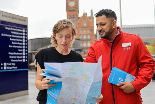

“With around 60 per cent of journeys being to or from London King’s Cross, we hope many people will find these maps a useful tool to discover ways to get around London.”
Emma Griffin, co-founder of Footways said: "It only takes 25 minutes to walk from King's Cross to the British Museum, or 40 minutes to Trafalgar Square. The time has come to walk more and walk further -- to improve our health, the environment, boost footfall and bring joy and discovery back to our daily lives."
LNER has several environmental initiatives such as growing algae to capture carbon and its ‘Green Guides’ – showcasing the best eco-friendly places to stay, eat and drink.
Maps are available from the LNER information point on the concourse at King’s Cross station and online by searching for ‘footways.london’.