
Yorkshire rain: What areas in the region have been issued with flood warnings and alerts ahead of yellow weather warning for rain across UK

A few areas in Yorkshire have been issued with flood alerts by the Environment Agency around the same time a yellow weather warning has been issued for heavy rain.
The wet and windy conditions are set to continue this week following an unsettled weekend, with further impacts expected, according to the Met Office.
Yellow weather warnings for rain and wind have been issued for late Monday, December 8, into Tuesday, December 9, 2025, across parts of southern and central England, South Wales, north west England and Scotland as a deep area of low pressure brings disruption.
After a showery start, an area of low pressure approaching from the North Atlantic will bring heavy rain and strong winds into Tuesday.
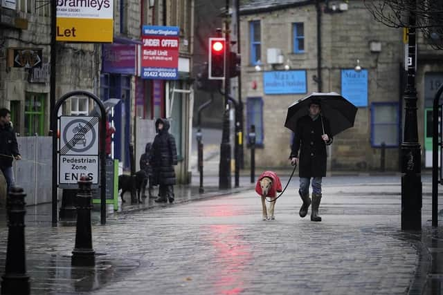

Northallerton is one of the areas in Yorkshire issued with a yellow warning by the Met Office.
Deputy chief meteorologist at the Met Office, Dan Holley, said: “Whilst there is some uncertainty as to the exact track and intensity of the area of low pressure as it passes close to western Scotland later on Tuesday, many parts of the UK are likely to see spells of rain which, given saturated ground, could lead to flooding and delays to road and rail travel.
“In addition, strong winds are expected, particularly in northern and western areas. We are closely monitoring developments and may issue updates to the warnings as the situation evolves.”
The Environment Agency has also issued a flood warning and various flood alerts for areas in Yorkshire.
A flood warning has been issued for River Ouse at York - riverside properties. Rising river levels are expected to cause flooding today (December 8).
Locations most affected will be properties on King’s Staith in York and riverside areas through York from Lendal Bridge to Milennium Bridge. The Foss Barrier is operating and relevant flood gates in York have been closed.
The Environment Agency advises people to take care and avoid walking, cycling or driving through flood water.
There are also alerts issued for various areas as high river levels may lead to flooding over the next several days.
Lower River Derwent
Locations most affected will be local roads and low-lying land around Stamford Bridge and Buttercrambe.
Levels are expected to remain high.
Flood alert areas: Local roads and low-lying land around Stamford Bridge, Pocklington, Wressle, Wilberfoss and Elvington.
River Foulness and Market Weighton catchment
High river levels may lead to flooding. Flooding is possible over the next few days.
Locations most affected will be low lying land and roads near Welham Bridge. Levels are expected to remain high.
Flood alert areas: The River Foulness and the Market Weighton Canal and their tributaries.
River Rye catchment
High river levels may lead to flooding.
Locations most affected will be roads near rivers, riverside footpaths and low-lying land around the River Rye and its tributaries, including Ralsdale Beck, River Seph, Ledge Beck, Fangdale Beck, Prodale Beck, Ladhill Beck, Etton Gill, Borough Beck, Spittle Beck, including properties of Salton, Nunnington and Helmsley.
Rivers Ehen, Calder, Irt and Esk
High river levels this evening may lead to flooding.
Locations most affected will be low lying land and roads near the Rivers Ehen, Calder, Irt and Esk and other watercourses, from Harrington to Annaside including low lying areas around Whitehaven, Cleator Moor, Egremont, Gosforth, Eskdale and Bootle.
Upper River Derwent
High river levels may lead to flooding. Flooding is possible for the next several days.
Locations most affected will be low lying land and roads near rivers, particularly around the Low Marishes and Malton area.
Flood alert areas: The Upper Derwent and Scarborough areas, including land around The Sea Cut at Scalby, Throxenby Beck, Old Malton, and Priorpot Beck in Norton.